Site conditions change fast. Capture them in measurable 3D with Ground Pro
.svg)
Quick Summary
There are so many different things happening on a site. How do you scale your entire team to be able to capture with the tools they already have? How do you make sure they get outputs they can use on a daily basis and not just when an issue comes up?
Being able to see what material sits on a level by doing the typical 360 walk (that you were already taking anyway), or being able to scan a trench using just your phone ensures that it doesn't get missed because your regularly scheduled drone flight wasn’t timed correctly.
This is the gap DroneDeploy Ground Pro is built to close.
Introducing Ground Pro
Ground Pro turns the phone, tablet, or 360 camera your field team already carries into measurable, 3D site documentation. It works alongside the walks and photos your teams are already capturing, adding Interior Maps for a view of current conditions, Mobile 3D Scan to document quick-closing trenches and exteriors, and 3D Measure & Navigation so you can check a dimension later without having to make a return trip to the site. It doesn’t require specialist hardware or a dedicated scanning crew.
Ground Pro is now generally available as an add-on to DroneDeploy Ground and Unified plans.
A view of what's actually there
Ground Pro's Interior Maps give the team a floor-by-floor, ceiling-by-ceiling view of current site conditions instead of the design plan from three weeks ago. Floor Maps cover material laydown, wall layout, and site logistics. Ceiling Maps cover overhead MEP installs against what's on the shop drawings and how close the ceiling grid is to buttoning up.
A regular walk-through captures it, so whoever’s building next week’s lookahead can check it before scheduling the plumber into a zone that’s still stacked with someone else’s lumber.
Capture before it disappears
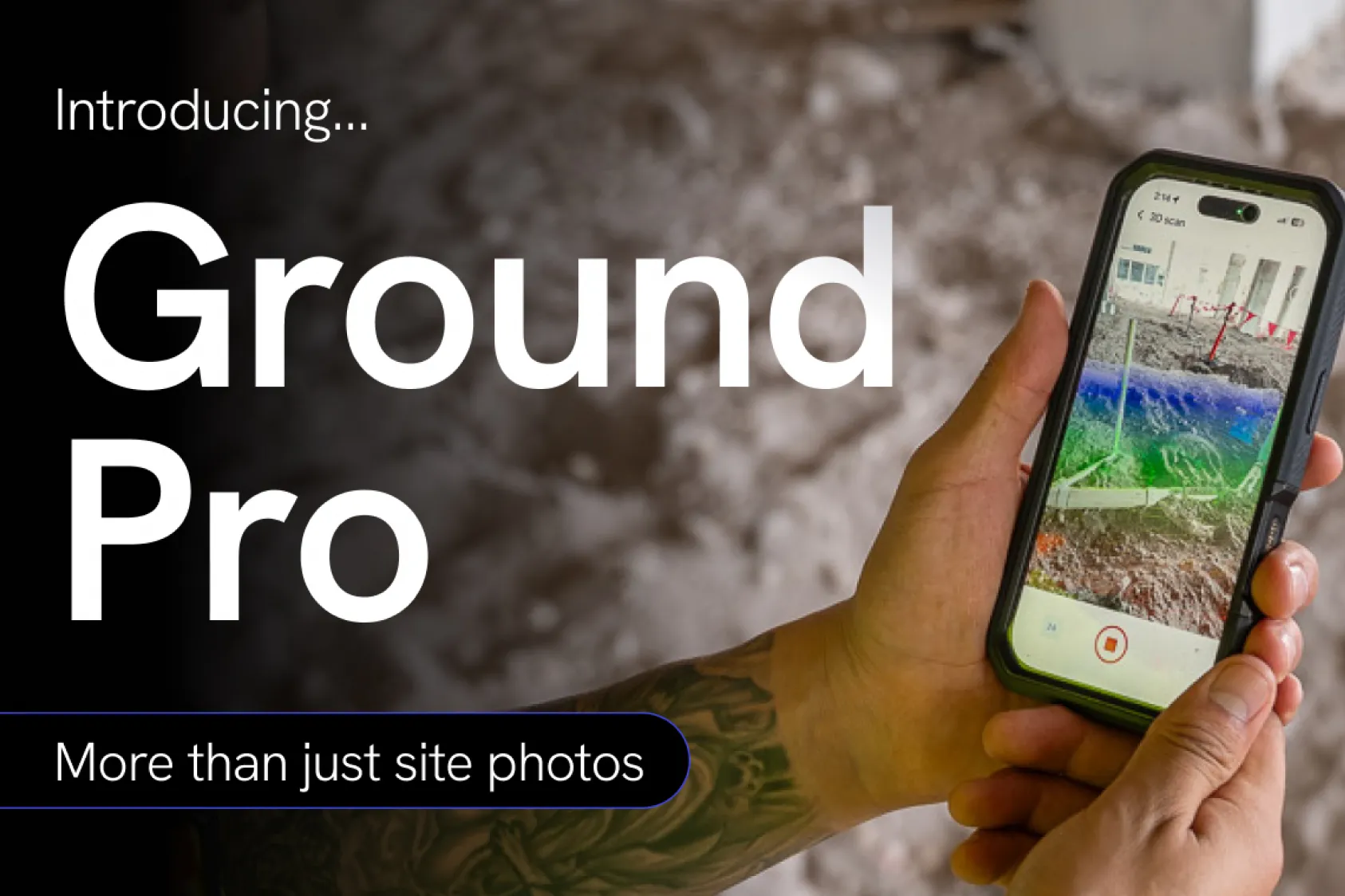
Trenches get backfilled. Facades get built in layers. Ground Pro's mobile 3D scan with optional RTK uses the LiDAR-enabled iPhone or iPad already on site to capture those conditions in the same amount of time it takes to walk around it.
Measure from what you are already capturing
Ground Pro reconstructs 360 walks into a 3D record teams can walk through and check a dimension against, right from the record. It won't replace a laser scan or a tape measure for critical measurements, but it’s built for your most common questions: How wide is that opening? How far off the wall is that buried outlet? A superintendent or site manager can pull up the walk, look at the space, and get the answer they need to keep work moving, instead of counting studs from a historical photo to guess a distance. For remote stakeholders, dollhouse navigation means your owner's rep or a design partner has an enhanced experience to move around the model.
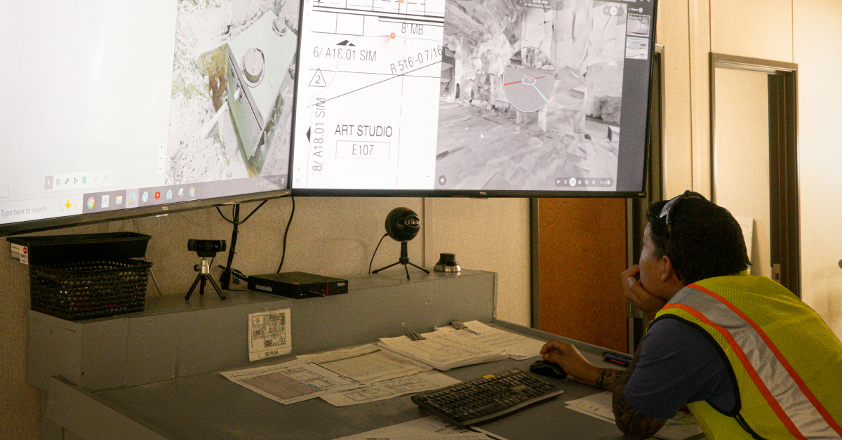
"Drones have given us a high-level view of jobsite progress for years. Ground Pro now gives us that same perspective inside the building," said John McDermott, Senior VDC Manager at KAST. "A 10-minute walk with a 360 camera produces not only a 3D, immersive view of what a floor looks like; but also a 2D map of what's been laid out on the floor and above the ceiling. Instead of clicking through photos one at a time, hoping they're organized well enough to know where and when they were taken, I can now see where material is stacked and which rooms a trade has taken over, all mapped to a floor plan."
Available now
If your team is already capturing walks with DroneDeploy, Ground Pro makes the most of the work you’re already putting in.
Close the gap on your next project. Request a demo today.
.png)
FAQ
Ready to manage your data from the very start?
Book a quick call to see how DroneDeploy streamlines capture from construction through building ROI.