Turn mountains of site data into
clear decisions
.png)


.png)


.png)


.png)
.png)

.png)
%201%20(2).png)


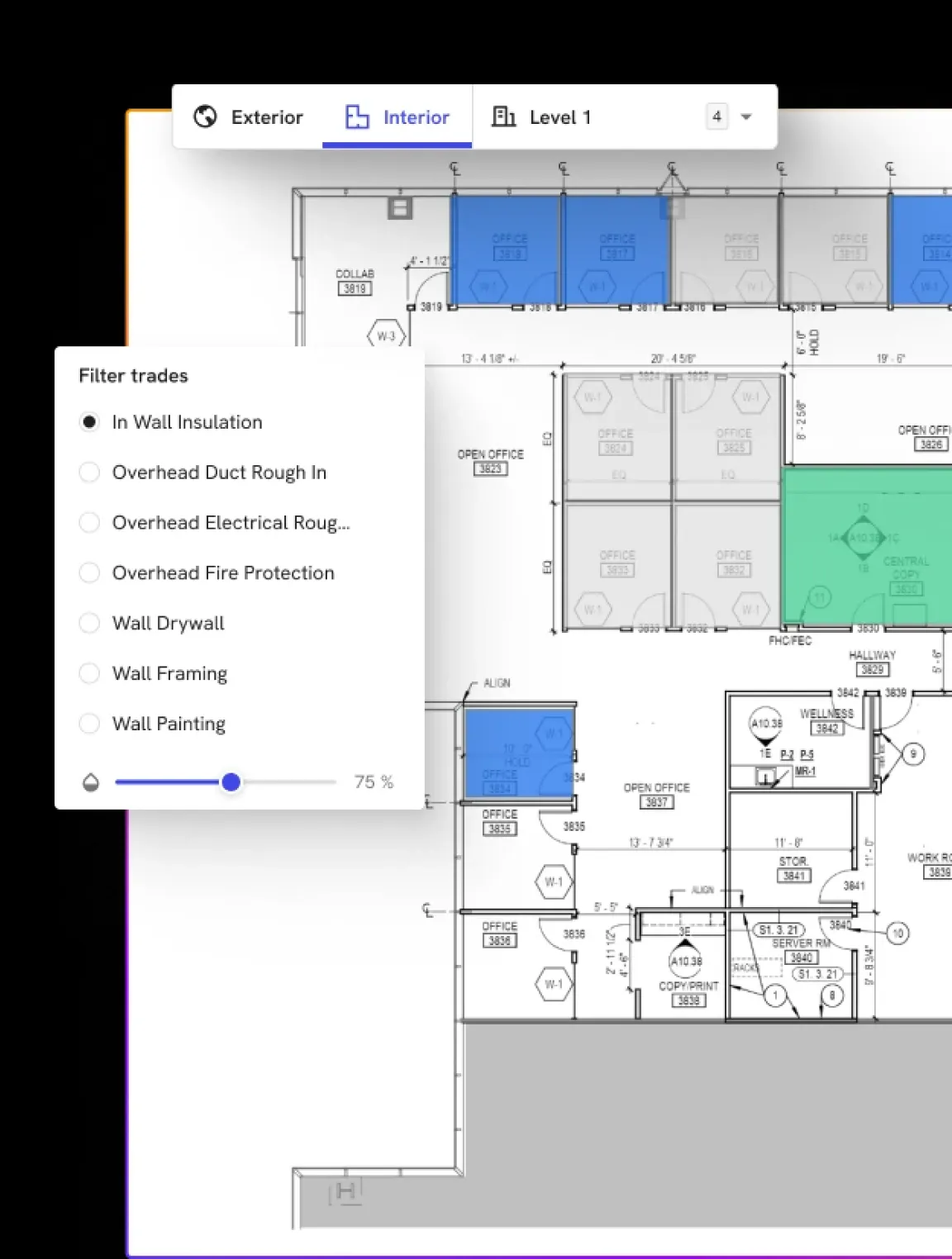
How DroneDeploy Aerial works
Try it yourself in this interactive preview
.avif)
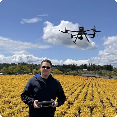
Build your fleet (or let us do it for you)
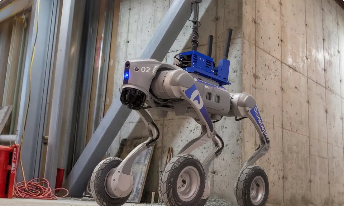
Supported hardware
Our processing engine works with data from any camera source and supports automated flights, mission planning, and execution across drones, ground robots, docked systems, and 360 cameras.
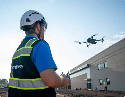
Data on demand
Need the data but don't have pilots or hardware yet?
Use our services network to capture key corridors and facilities at the cadence you need, with processed maps, photos and models delivered straight into your DroneDeploy account.
Is DroneDeploy the right fit for your operations?
Technology leaders, operations directors, data teams and IT security evaluators assessing AI for field operations use DroneDeploy’s AI platform across construction, energy and infrastructure. It adds automated analysis to the site capture already running – no additional manual reporting, no separate data pipeline. Executives who need accurate portfolio reporting from active sites, and IT teams evaluating data governance and model isolation, will find the documentation and architecture to support a rigorous review.
Two production AI agents: Safety AI and Progress AI. Safety AI identifies OSHA violations from 360 walk data at 95% accuracy. Progress AI delivers trade-level progress reports within two hours of capture. Both run on data your team is already collecting.
DroneDeploy's visual intelligence is proprietary. Built on vision-language AI trained on billions of square feet and millions of acres of real site data – not general-purpose models.
Customer data is never used in model training. Inference runs in isolation per customer. Your project data is not shared with other customers and does not feed any training pipeline.
Text and voice queries work against your site's visual record. Ask about progress status, safety findings, or site conditions and the system returns answers grounded in captured imagery.
Reports reflect the most recent capture. The AI reads what is actually in the imagery – not what a static model says should be there.
DroneDeploy's AI agents run without human orchestration. After capture, they process data, generate findings and surface outputs automatically. Your team receives reports – not prompts to click through.
The AI was trained across a wide range of site types, geographies and conditions. Confidence scores come with every output so your team knows when the AI is certain and when human review is warranted.
Both Safety AI and Progress AI work directly from imagery. No BIM, no schedule, no structured prerequisites. Existing models can be incorporated if you have them.
DroneDeploy's AI team includes PhDs in machine learning and computer vision who have authored patents and set industry standards. The models run on one of the largest construction-specific training datasets in the industry.
DroneDeploy is expanding across traditional ML, custom models and vision-language models. Earthworks AI is in development. Updates go to customers through the platform and help center release notes. Your account team can share current roadmap details.