Get an unbiased view of every asset


Saves $500,000 a year on well inspections like California Resources Corporation
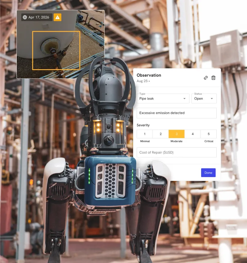
See every asset before it fails.
Stop flying blind between sites.
Plan crews off current conditions.
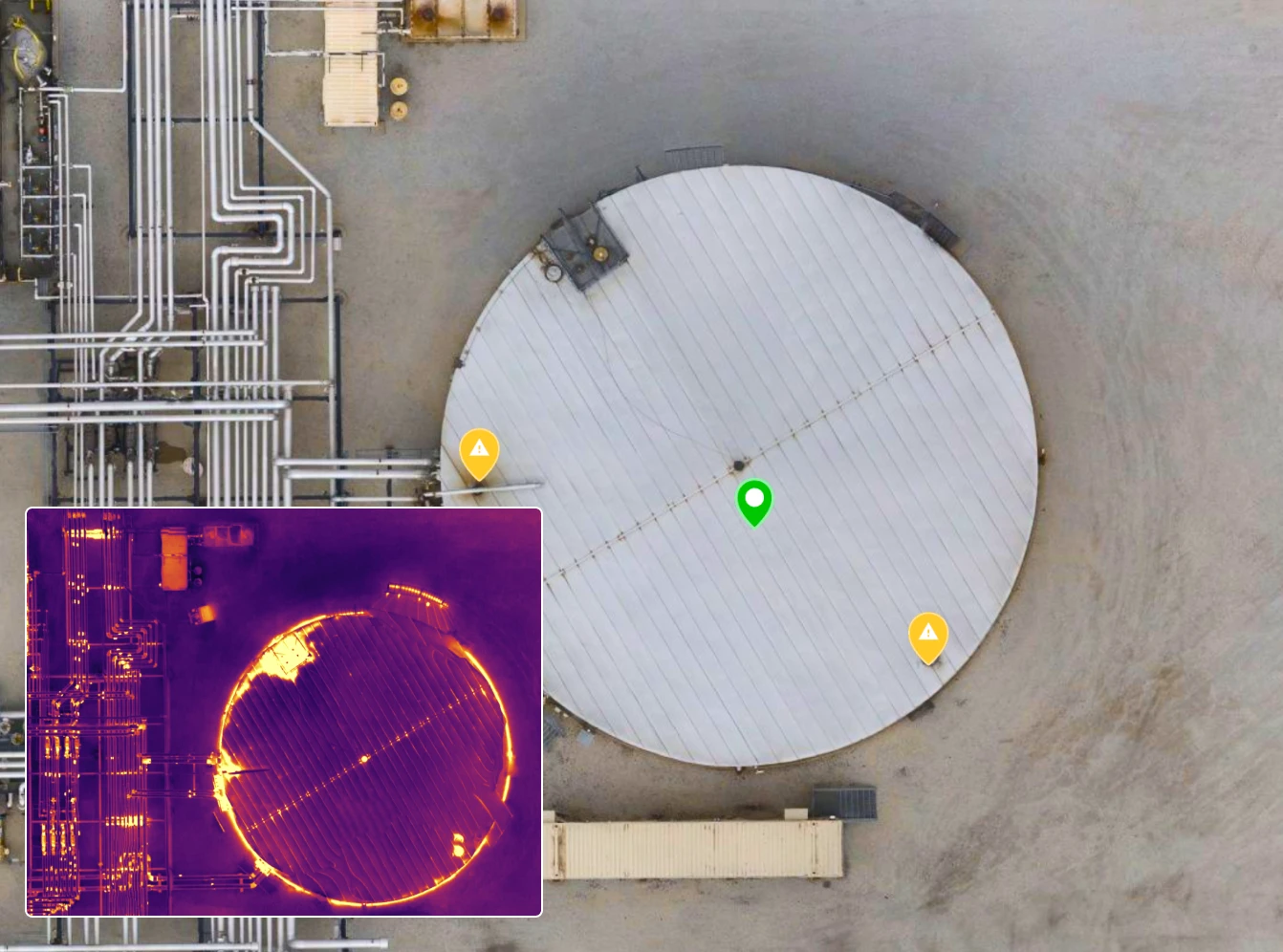
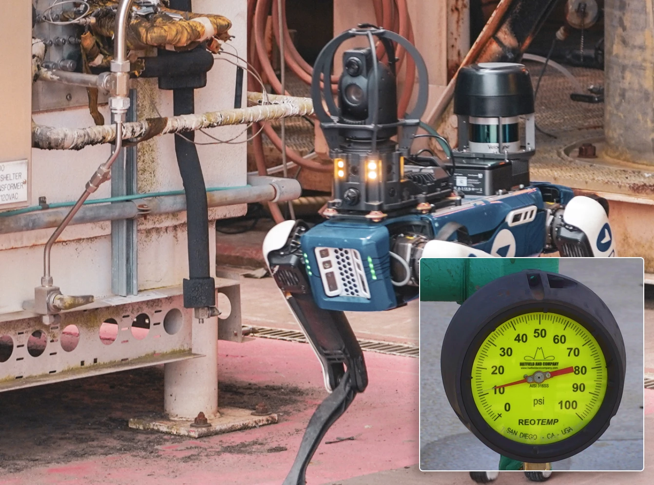
Capture from every vantage point

DroneDeploy Aerial

DroneDeploy Ground
Need a full feature list and custom quote?
Build your fleet (or let us do it for you)
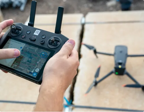
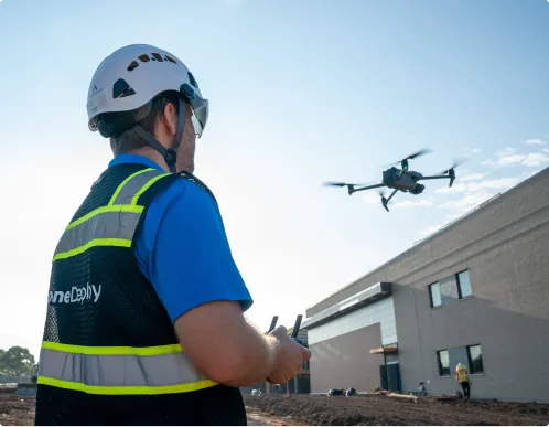
Drones
Our UAV inspection software for oil and gas supports leading enterprise‑grade drone platforms. Capture high‑accuracy aerial maps, thermal imagery and 3D models across refineries, terminals and well pads – even in remote basins.
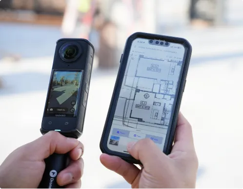
360 cameras
Our 360-degree photo documentation software for oil and gas captures interior walkthroughs of plants, compressor stations and processing facilities. We then align them to your P&IDs and GIS data for faster remote verification.
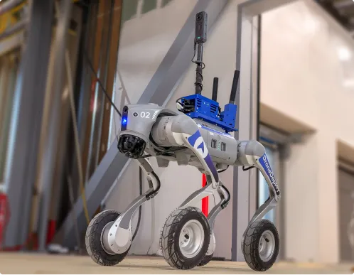
Docks and robots
Deploy docked drones and ground robots to capture routine inspections automatically. Keep an always‑current visual record of critical equipment, even when sites are difficult or expensive to access.
Data on demand
Need the data but don't have the pilots or hardware yet? Tap into our professional network to survey pipelines, plants and remote facilities at the cadence you need, with processed maps and models delivered straight into your DroneDeploy account.
.png)
.png)


Is DroneDeploy the right fit for your operations?
Not in most cases. DroneDeploy is used today to monitor and inspect oil & gas facilities without shutting off production – giving you detailed views of assets while they stay online.
DroneDeploy is used by a wide range of energy companies – from global operators and pipeline companies to regional producers and inspection firms – across upstream, midstream, and downstream assets.
Most customers start by augmenting existing workflows, then quickly standardize on DroneDeploy once they see the impact: 40%+ time reductions on inspection workflows, hundreds of thousands of dollars saved in a matter of months, and less time spent on scaffolding or in hazardous areas.
Yes. Enterprise energy customers use DroneDeploy as a central platform for flight operations and data because it offers encrypted data at rest and in transit, role‑based permissions, and enterprise‑grade controls including SOC 2 and ISO 27001 certifications.
No. You can begin with Data on Demand for aerial capture, then scale into in‑house programs and robotics over time. Our team supports training, best practices, and program design so your operations, integrity, and inspection teams can ramp quickly.


Getting started is simple. Request a demo today.