3 things you missed at Procore Groundbreak 2026

Quick Summary
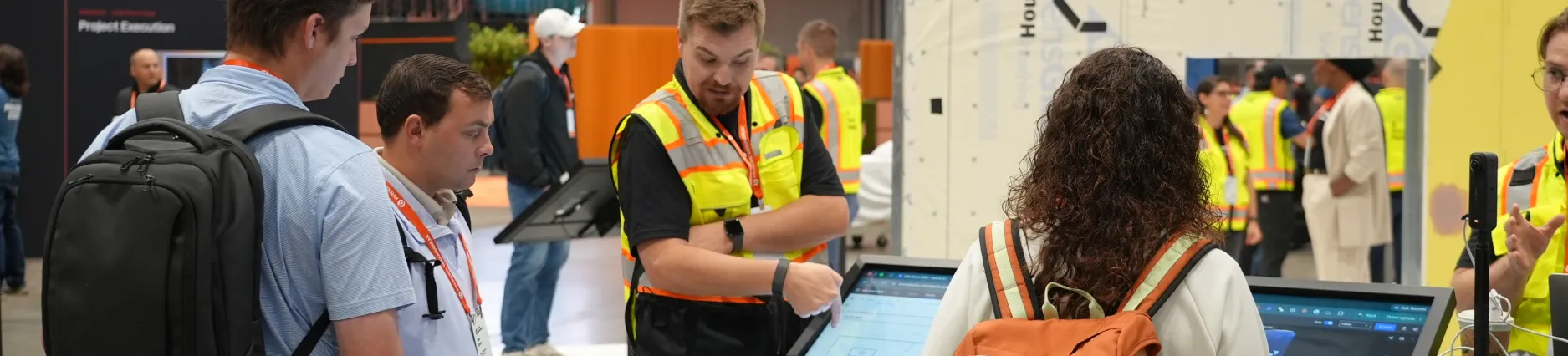
Groundbreak is Procore’s annual conference, where builders from across the industry spend two days getting a close look at the latest in construction tech. This year it landed in Orlando on Oct. 21 and 22, and it was our first Groundbreak as part of Procore. Here’s what we brought to the show floor, what DPR Construction shared on stage and where to catch the sessions you missed.
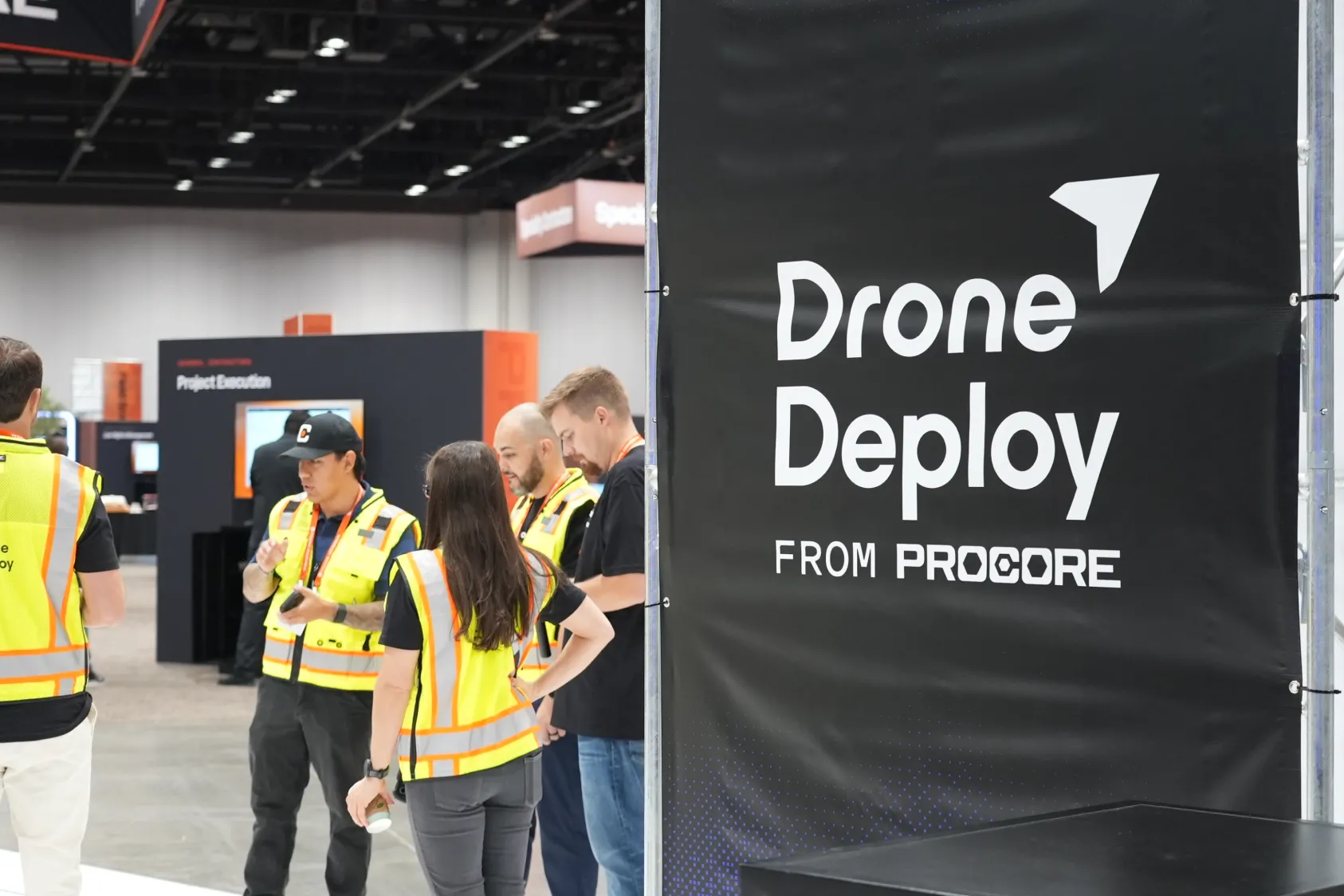
Between the keynotes, the breakout sessions and a packed expo hall, there was a lot to take in over two days at Groundbreak 2026.Our booth stayed busy from the moment the doors opened, and we left Orlando with plenty to share.
If you couldn’t make it to Orlando, here’s what you missed.
A trench you could scan with your phone
Our team built a faux trench, about six feet deep, right onto the show floor. Visitors picked up an iPhone, walked the edge and had a 3D scan in about 90 seconds, then measured the depth and width right in the model.
A phone scan is one way to capture the ground with DroneDeploy Ground, and most teams use a mix of these.
- 360 walks are where most crews start. Someone walks the floor with a supported 360 camera connected to the DroneDeploy Ground app, and the walk lines up with the drawings, so you can pull up the same corner from last week or last month.
- 360 panos and phone photos cover single spots that need a closer look. Each one lands on the plan where it was taken.
- Mobile 3D scans run on a LiDAR-enabled iPhone or iPad. That's what people used on the trench, and it's handy anywhere you want measurements before something gets covered up, like an open utility run before backfill.
- Laser scans and PortalCam captures upload into the same project if your team already owns the hardware.
DPR's digital dig board: utilities on one map before anyone digs
On Thursday morning, Stuart Drahota of DPR Construction joined Grant Hagen on the Foundation Stage to talk about DPR's digital dig board.
If you've run sitework, you know the dig board. It's the map in the job trailer, usually printed and sometimes on a touchscreen, that crews check before they break ground. DPR's trouble was keeping it current. Utility records, locates, models, drone maps, as-builts and permits all existed on its projects, but they lived in different places, and the board in the trailer was only as up to date as the last person who updated it.
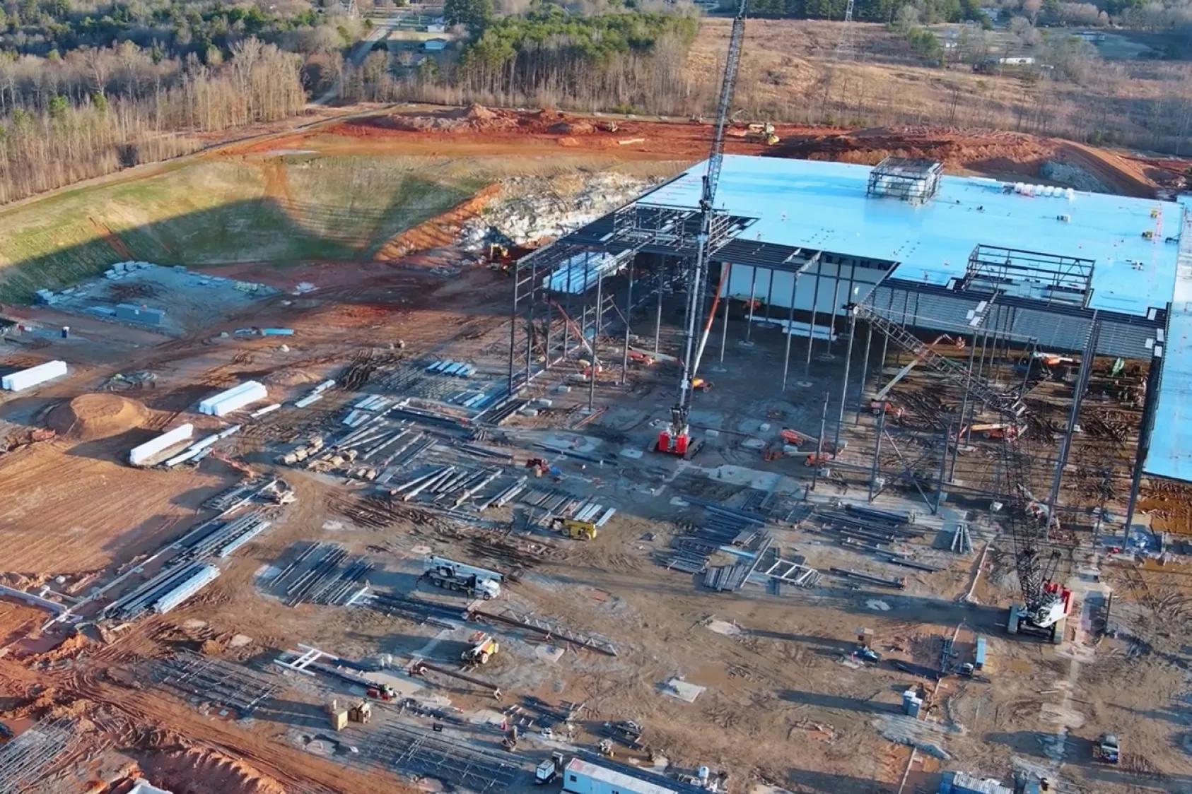
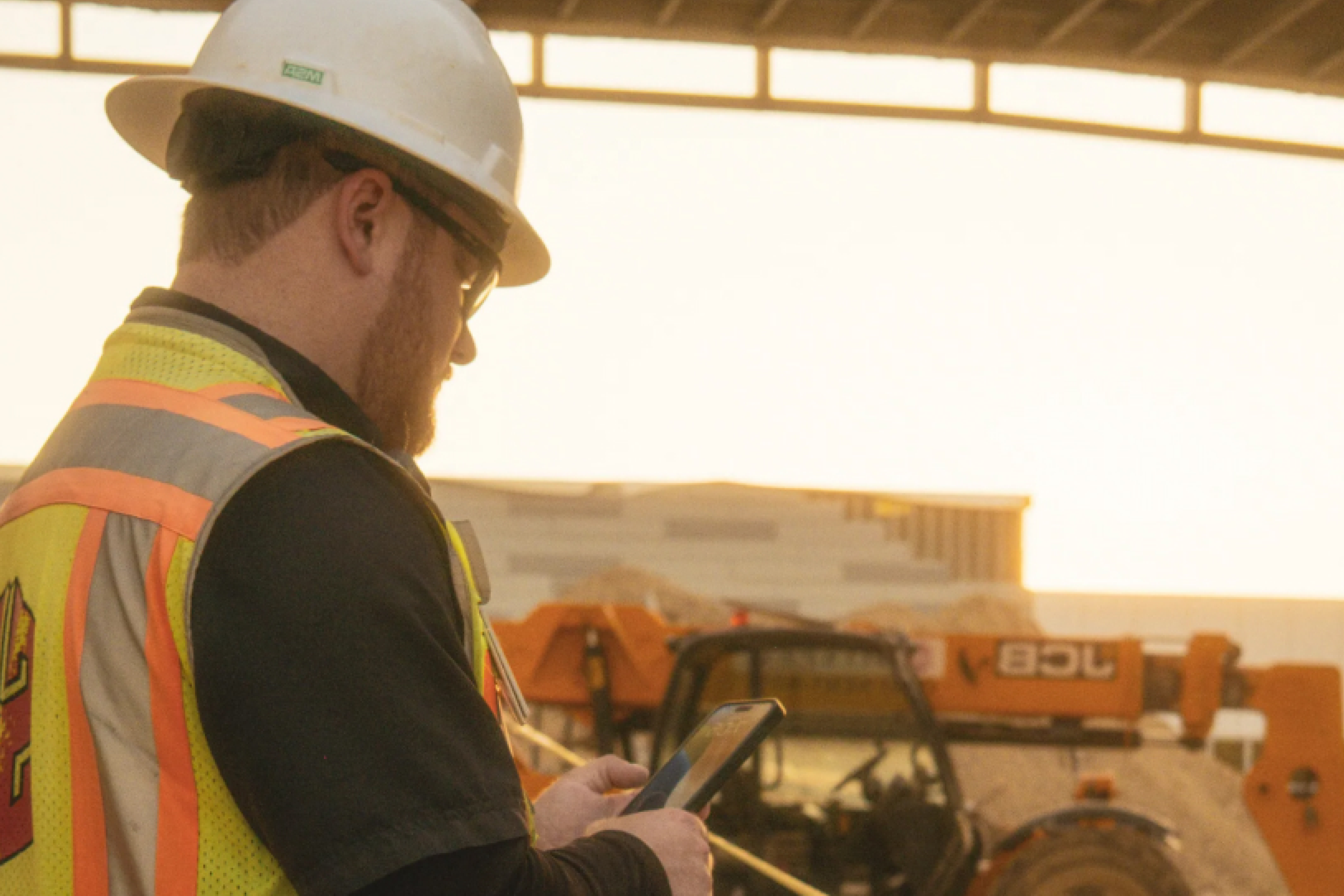
So DPR moved the dig board onto the drone map. Utility drawings and as-builts sit on top of current aerial imagery processed in DroneDeploy Aerial, and crews and trade partners check it on their phones in the field instead of walking back to the trailer.
Each dig gets captured before it's backfilled, so the map gets more complete as the project goes. Stuart had a slide that put it simply: "Every excavation should improve the next excavation."
"We created a digital dig board. Within less than a foot of accuracy, I can walk that whole area and know if we have utilities." — Stuart Drahota, Field Tech Group Leader, DPR Construction
He was careful about the limits, too. Locates, permits and competent-person review still happen on DPR's jobs, and the digital dig board gives everyone the same map to do them from.
Catch Groundbreak on demand
If you'd rather watch than read, start with the sessions. Groundbreak 2026 sessions are available on demand on GBK+.
We also filmed a lot at the booth. These are the ones to start with.
Demo booth spotlight with DPR puts DPR in front of the camera at our demo station.
Guess the Measurement had people pull a tape measure to a called-out length without looking. Being a few inches off wins you a booth game. On a jobsite it gets you rework.
3D ground scan demo walks through a scan at the booth.
Partner spotlights feature partners we talked with on the floor.

FAQ
Yes, as long as it's a LiDAR-enabled iPhone or iPad. Mobile 3D scanning runs through the DroneDeploy Ground app, and you can measure a trench, a wall or a tight space from the scan afterward.
Teams capture 360 walks with supported 360 cameras, 360 panos and phone photos, and mobile 3D scans on LiDAR-enabled iPhones and iPads. Laser scans and PortalCam captures can be uploaded into the same project.
It's a shared map of underground utilities that crews check before they dig. DPR Construction builds its version on drone maps with utility drawings and as-builts overlaid, and it works alongside locates and permits rather than replacing them.
Ready to learn more?
Contact sales to see how DroneDeploy can give your teams the power to document and analyze your sites from the air and ground – all in one AI-powered platform.