Platform
Core product
DroneDeploy Aerial
DroneDeploy Ground
Automation
Robotics
Dock Automation
Industrial Inspection
Visual intelligence
Safety AI
Progress AI
AI at DroneDeploy
Earthworks AI
Ecosystem
Supported hardware
Hardware store
Integrations
Services
Data on Demand
Calculator
Estimate how much reality capture could save you with our ROI calculator
Sign up
Get estimate
Solutions
Industries
Construction
Renewable Energy
Roofing
Heavy Civil
Agriculture
Oil & Gas
Owners
Mining
Property Management
Data Centers
Utilities
Calculator
Estimate how much reality capture could save you with our ROI calculator
Sign up
Get estimate
Resources
Learn about us
DroneDeploy Insider
Playbooks
Webinars
Podcast
Newsletter
Education & news
Blog
Customer stories
Press releases
DroneDeploy Academy
Calculator
Estimate how much reality capture could save you with our ROI calculator
Sign up
Get estimate
Connect
Get started
Start a trial
Contact sales
Onboarding guide
Get support
Help Center
Contact support
Live office hours
Connect with us
Industry events
Newsletter sign up
Calculator
Estimate how much reality capture could save you with our ROI calculator
Sign up
Get estimate
Pricing
Log in
English
English
日本語
한국어
Español
Português
Log in
Book a demo
Webinars
Learn how to be successful with DroneDeploy
Industry
Customer Story
Renewable Energy
Mining & Quarries
Oil & Gas
Real Estate
Utilities
Forestry
Property Management
Agriculture
Construction
Thank you! Your submission has been received!
Oops! Something went wrong while submitting the form.
What does DroneDeploy do? [the virtual event]
View webinar
Ground Truth: Laing O’Rourke on Unifying Emlid GNSS with DroneDeploy Scanning
View webinar
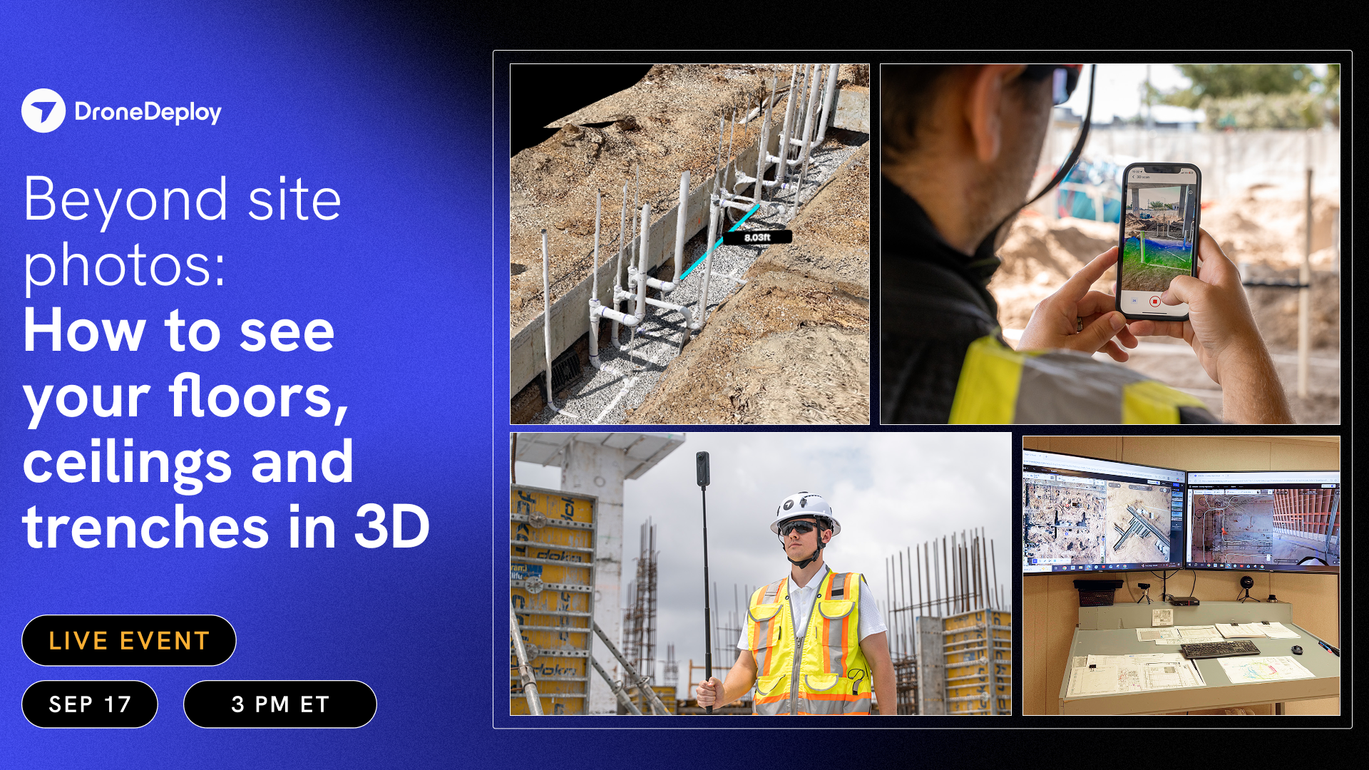
Beyond site photos: How to see your floors, ceilings and trenches in 3D
View webinar
Site Photos 101 EMEA Edition: Stop searching camera rolls. Start building a system of record.
View webinar
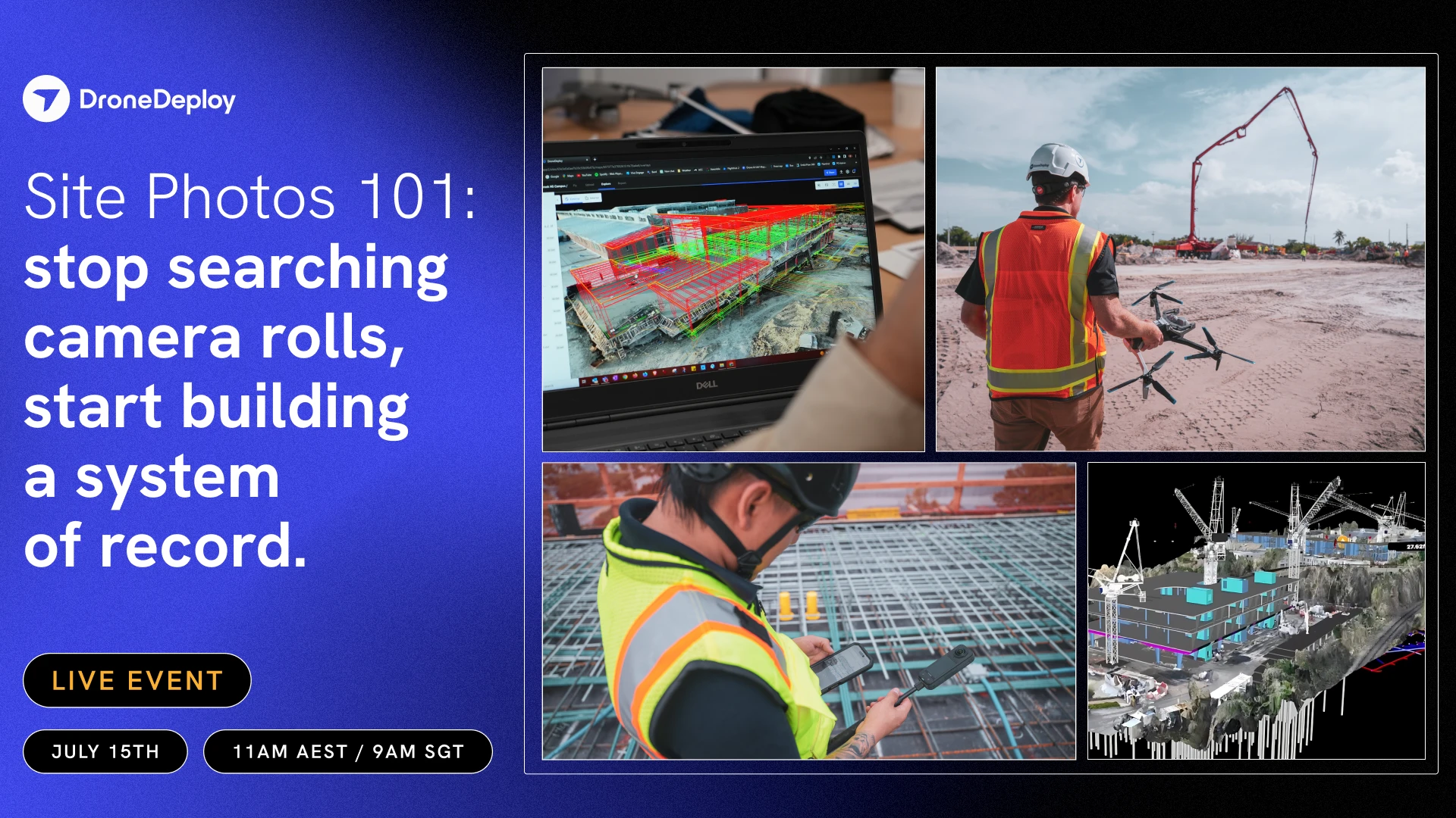
Site Photos 101 APAC Edition: Stop searching camera rolls. Start building a system of record.
Site Photos 101 APAC Edition: Stop searching camera rolls. Start building a system of record.
View webinar
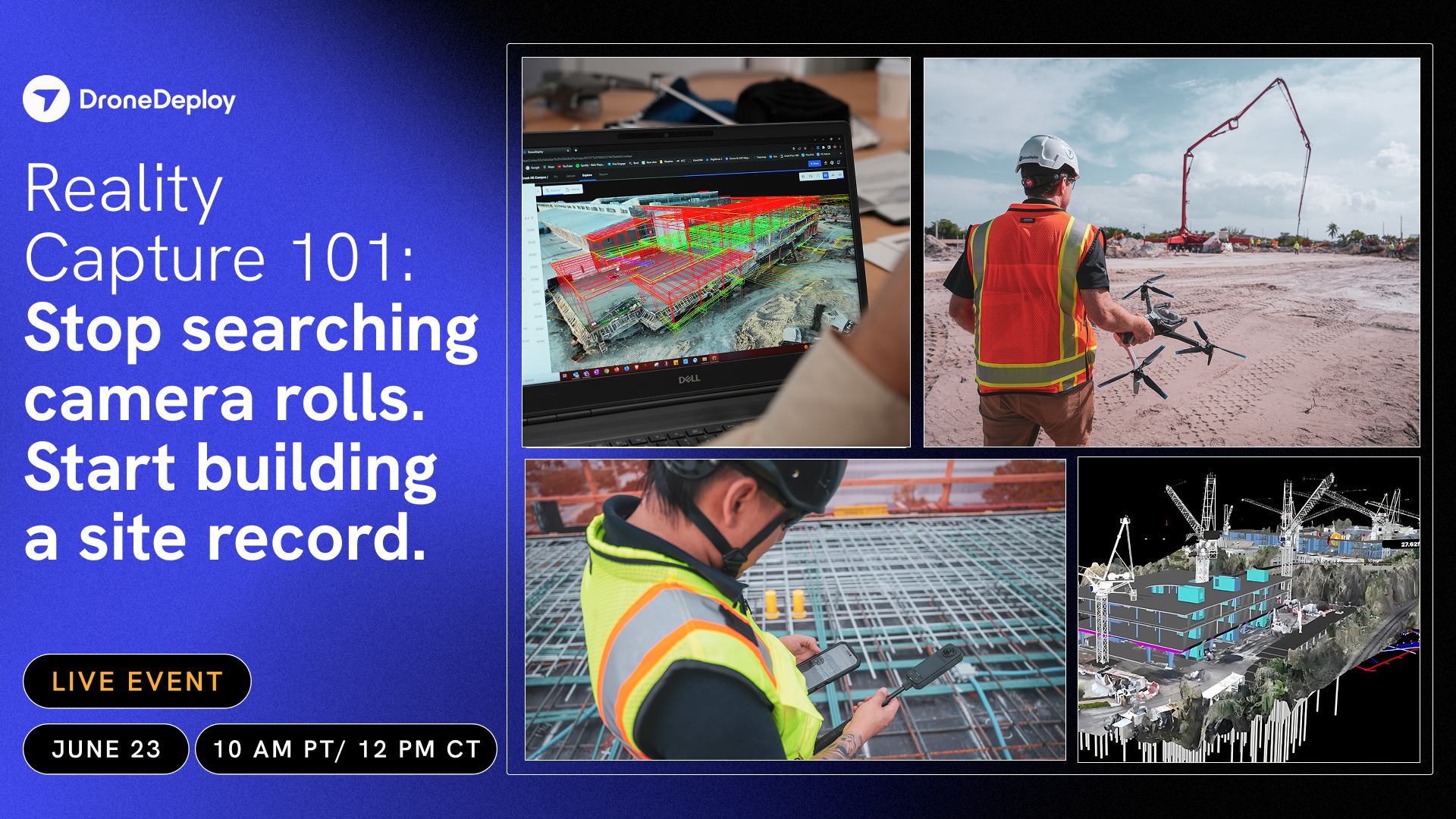
Site Photos 101: Stop searching camera rolls. Start building a site record.
View webinar
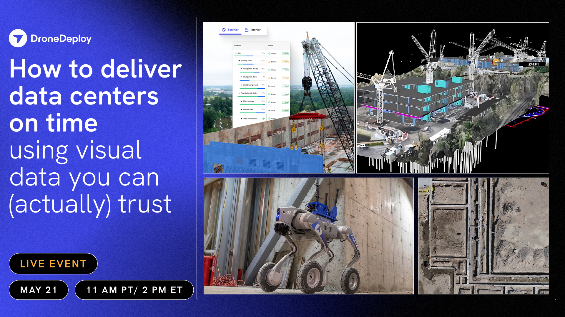
How to Deliver Data Centers on Time Using Visual Data You Can (Actually) Trust
View webinar
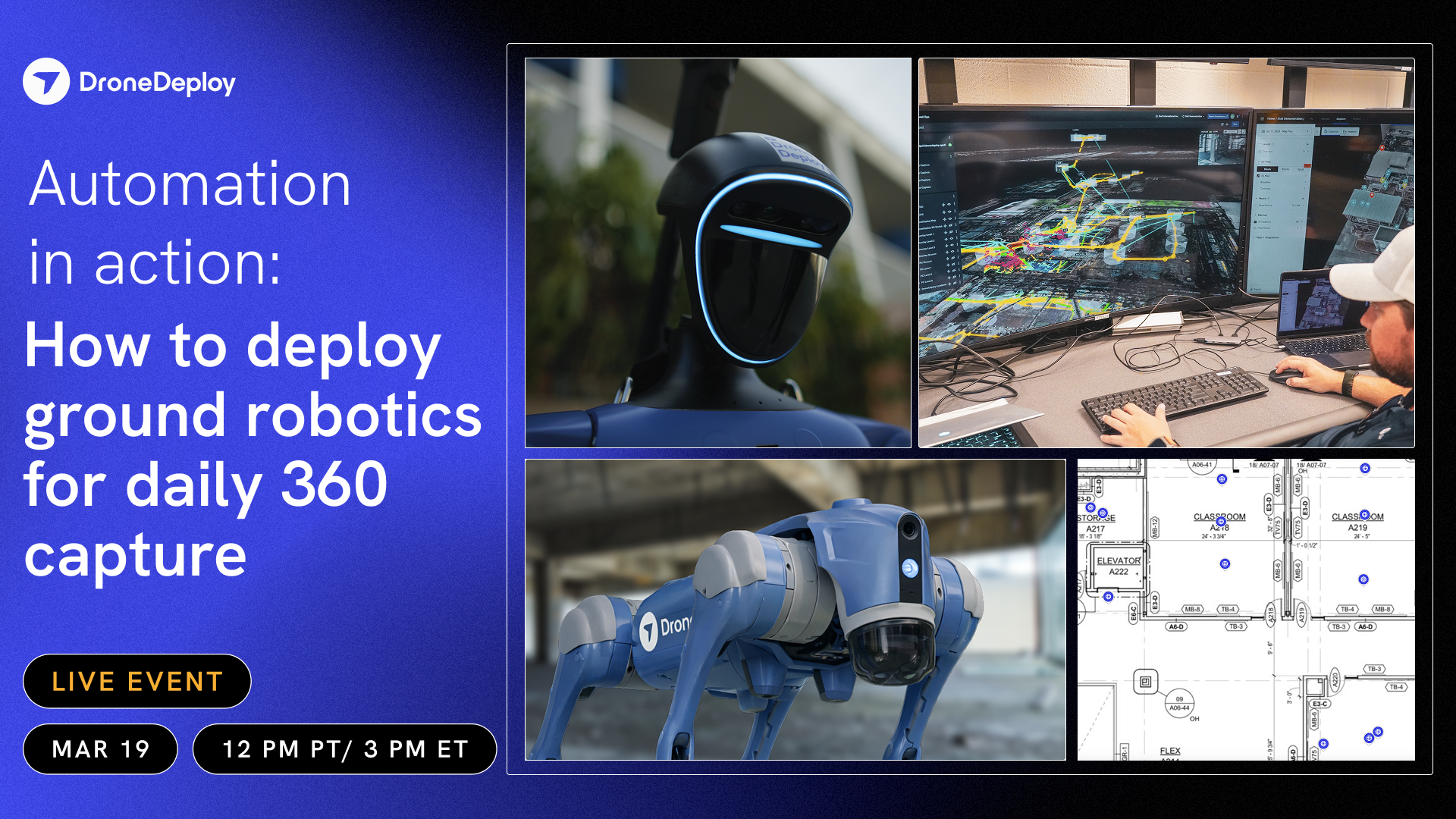
Automation in Action: How to Deploy Ground Robotics for Daily 360 Capture
View webinar
Foreign drones in the U.S.: Pragmatic strategies for operators and compliance teams
View webinar
Why high accuracy drone data matters (and how to achieve it)
View webinar
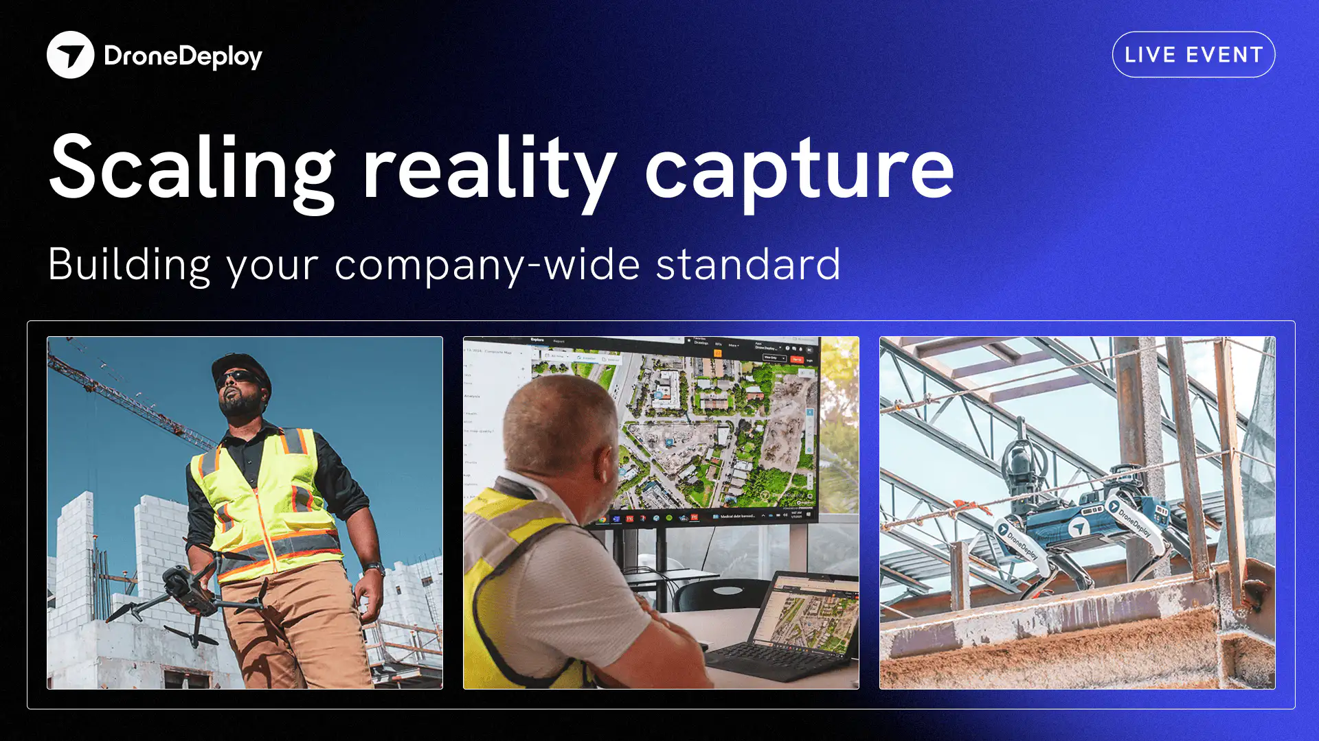
Scaling reality capture: building your company-wide standard like PCL Construction
This session provides a strategic framework for moving beyond project-level autonomy to implement a unified reality capture program.
View webinar
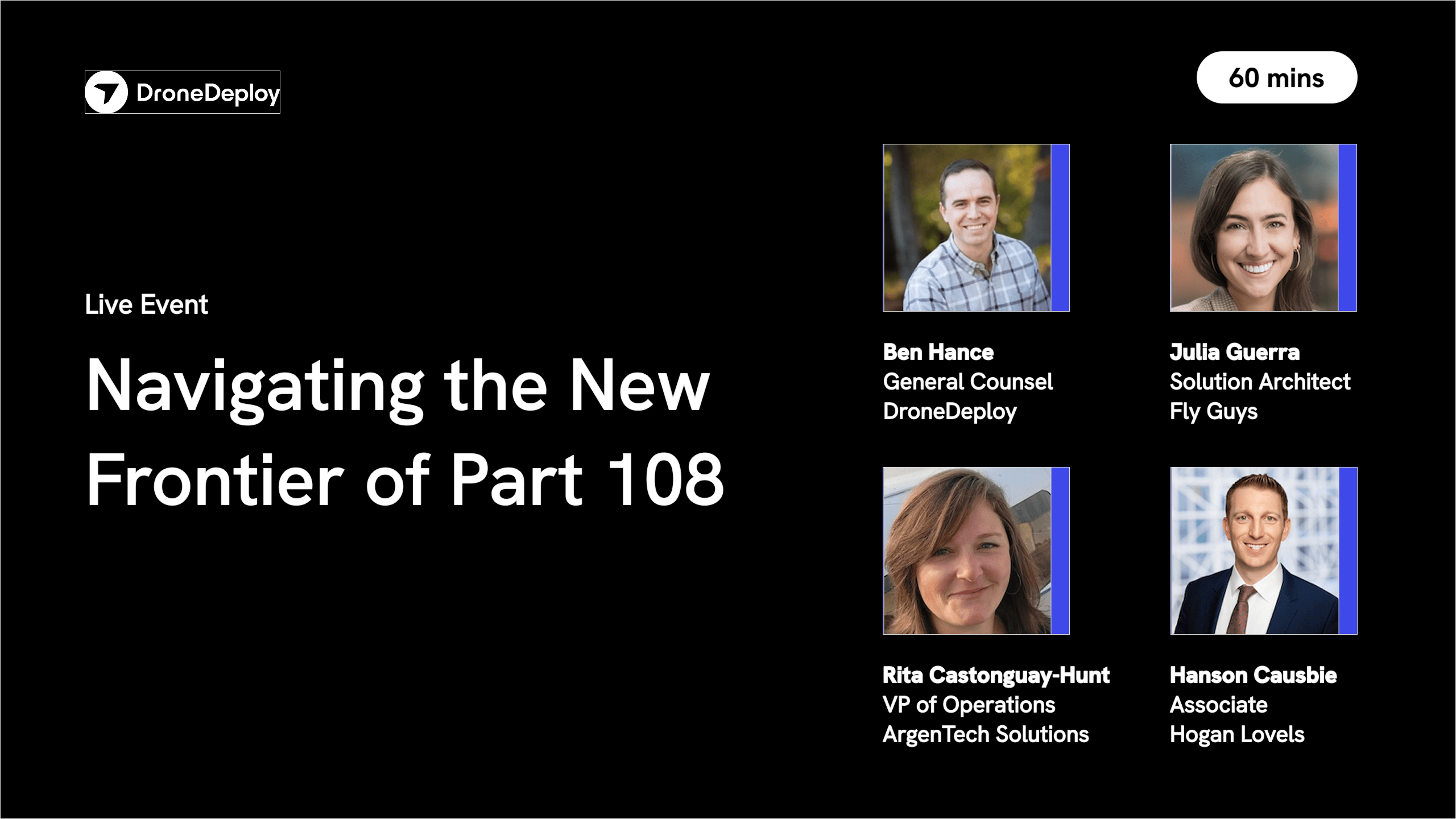
Navigating the New Frontier of Part 108
Join experts in drone regulation to learn how the FAA's new Part 108 will affect your operations and unlock new opportunities for your business.
View webinar
Productionizing Autonomous Asset Inspection with Robotics
View webinar
Productionizing Autonomous Asset Inspection with Robotics
Learn all about using robotics for autonomous inspections with DroneDeploy!
View webinar
Scaling Conservation Impact with The Nature Conservancy
View webinar