Beyond site photos: How to see your floors, ceilings and trenches in 3D
For years, aerial mapping has turned a jobsite into a dataset teams can measure, overlay and reference without walking it twice. Step inside the building and that record can often drop back to phone photos.
That gap is part of the reason why DroneDeploy acquired StructionSite, betting that the same visualization drones brought from 200 feet up should exist at eye level: on floors, in ceilings behind walls and in trenches.
This session is for the field and project teams who want to see where that bet landed.
Grant Hagen hosts, Matt Daly (StructionSite's founder) explains why the timing wasn't an accident, and Alvin H Butz’s Jan Ahner and KAST's John McDermott show what it looks like on a live project.
What we'll cover:
- Why the bet on this tech was placed years early – Matt Daly, StructionSite's founder, on why he bet his company on the promise of DroneDeploy’s vision engine for the inside of the jobsite.
- How to capture what's about to be buried – trenches, in-slab sleeves and facade conditions scanned with the iPhone or 360 camera already in a field team's pocket, before backfill closes over it.
- Floor and ceiling maps built like aerial maps – material laydown, wall layout and overhead MEP status stitched into one connected map, the way drone flights have mapped exteriors for years.
- Taking measurements after the walls close – blocking, door widths and clearances checked from a 360 walk months later, the way teams already measure off aerial maps outside.
- Real examples by real people – Jan Ahner (Alvin H. Butz) and John McDermott (KAST) on what it's replacing and how they’re using it on real sites today.
Featured Speakers
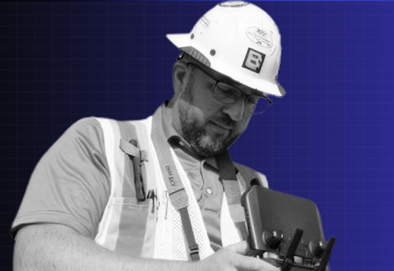
Jan Ahner
Superintendent, Alvin H butz

John McDermott
Sr. VDC Manager, KAST

Matt Daly
CMO, DroneDeploy

Grant Hagen
Head of Community | DroneDeploy