January 2023 Product Release

Quick Summary

Flight & Drone Operations
Mavic 3 Enterprise
Starting off, we’re excited to announce that the DroneDeploy Flight app now supports autonomous mapping missions on the new DJI Mavic 3 Enterprise (M3E), using the RC Pro Enterprise Smart Controller. This means that, for the first time, DroneDeploy can be installed directly on your smart controller – making it a true turn-key solution for a seamless flight experience.
The Mavic 3 Enterprise’s high-resolution 20MP camera, support for network RTK, increased flight time and mechanical shutter make it the drone of choice for producing high-quality maps within DroneDeploy.
It is important to note that DroneDeploy is currently compatible with the Mavic 3 Enterprise and RC Pro Enterprise Smart Controller together.
Check out our landing page, to learn more about the M3E. And if you have further questions, such as, how to install the DroneDeploy Flight app on your new RC Pro Enterprise Smart Controller, please see our FAQ page for more info.
We also want to extend a big thank you to all of our beta testers for your support and feedback!
The Mavic 3 Enterprise app is available to all M3E pilots.

DroneDeploy + StructionSite
Project Linking
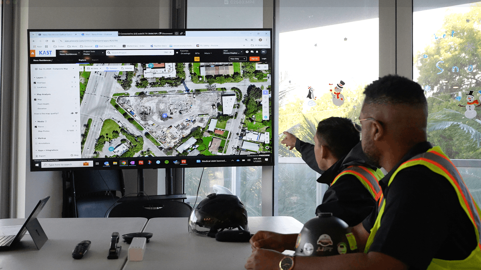
DroneDeploy’s recent acquisition of StructionSite is paving the way to creating a fully integrated interior and exterior reality capture solution for our customers. With the deal having closed last November, project linking is the first step to a comprehensive integration of the two products.
What is project linking? This new capability allows mutual DroneDeploy and StructionSite customers to connect their StructionSite and DroneDeploy projects for fast navigation between ground and aerial perspectives. Simply click on the icon of DroneDeploy in your StructionSite dashboard and add the URL for your DroneDeploy project (and vice versa in DroneDeploy). After setting up the project links, you’ll be able to click on the icon in each of your platforms to seamlessly toggle between interior captures in StructionSite and exterior captures in DroneDeploy.
Not a StructionSite customer yet? Learn more about the benefits of our ground reality capture solution for construction.
StructionSite
Enterprise Dashboards
Our updated Enterprise Analytics Dashboard displays value-focused metrics front and center in an easy-to-navigate design. Enterprise admins, executives, and decision-makers will quickly be able to see where and how frequently StructionSite is being used on your projects. With the ability to easily filter and export directly in a PDF or CSV, our Enterprise Analytics Dashboard adds more value to your broader team.


Locations
Now released from beta!
With Locations, you can see area-specific information - photos, metadata, etc. - all at a glance. Locations give you a comprehensive view of your project including what happened, where it happened, and when it happened.
Locations also leverage photos to produce insights into the capture health of a project. This means that you can now easily see how well your project is being captured, in addition to how well each area of your project is captured—giving you immediate feedback if more captures are needed.
With the thousands of photos taken over the course of a project, Locations unlocks the ability to categorize these images in a way that makes it far easier to tell the story of what happened in a particular part of your jobsite over time. Locations supplies the context to make project images meaningful and valuable, especially for superintendents and project managers who are focused on managing the day-to-day activities of a jobsite.
Note: Locations is only available for Enterprise plans. Only project administrators can set up locations.
Walkthrough
Pano Side-by-Side Comparison
For all of our Ground users, this feature unlocks the ability to make a side-by-side comparison of 360 panos and aerial panoramas for tracking progress over time on your jobsite. It also allows for linked panning in apartment units, classrooms, or assets. It supports the same workflow you use today for comparing 360 Walkthroughs over time.

Intelligence
Methane Visualization Layer
DroneDeploy’s newest data layer is here!
The Methane Visualization Layer is an exciting update that allows users to create heatmap visualizations of methane concentration in DroneDeploy overlaid on existing maps. The heatmap uses locational data and concentration measurements to create another layer of visual data of your equipment, simplifying your inspection workflow.
This powerful new tool will help you establish a methane emissions baseline for your facility or site. Adding visual methane data to your digital maps is key to enabling continuous equipment monitoring, moving your team closer to a true digital twin. Additionally, storing this data alongside your digital asset imagery allows users to easily create a referenceable record for analysis and shareable reports of methane inspection data.
With drones and analytical tools such as the new methane visualization layer, methane data can be analyzed in hours instead of days, streamlining cross-departmental communication and speeding up the leak detection and repair (LDAR) cycle, keeping methane in the pipe where it belongs.
Note: Methane Gas Visualization Layer is only available for Advanced, Teams, and Enterprise plans.

View Measurements in Local CRS
In this release, we’ve added SPCS (State Plane Coordinate System) Northing and Easting coordinates to location annotations, based on the assigned CRS (coordinate reference system) for the project.
We’re excited about this new functionality because it enables new QA and QC workflows, all directly within DroneDeploy, helping bridge the communication gap between surveyors, project engineers, and project managers managing pre-construction and construction progress.
Displaying location coordinates in your local CRS will also help build trust and reduce confusion caused by showing U.S. surveyors and contractors WGS84 coordinates that are not relevant to their work. Now, you can compare site conditions to design drawings in the same CRS, all within the web platform and exported as shareable reports.
Platform, Processing and Usability Improvements
Data Residency
To maintain the highest level of organizational compliance, DroneDeploy data can now be stored locally in the UK and Australia. If you are interested in learning more about new data residency capabilities, please reach out to your Customer Success Manager.
Small Improvements, Big Impact
- DroneDeploy application load speed increased by 15%
- Annotations load 35% faster
- 3D model load speed improved by 18%
- Pre-processed Panos are now included in any progress report
- Radiometric processing is now available for the Mavic 3T and Matrice 30T - useful for roof and solar panel inspections
- New! Duplicate annotations with the click of a button
- Smart uploader prediction success improved by 40%
- Cropped map now viewable in 3D model and point cloud
Active Betas
Terrain Edit (coming soon)
Volume measurement accuracy just got even better. Coming soon, Terrain Edit allows you to remove, or “flatten,” specific elements within your map, giving you total control over your analysis above and beyond the automatic adjustments in the Digital Terrain Model (DTM).
Terrain Edit allows you to remove any unwanted items such as puddles, trees, and trucks with a few simple clicks, ensuring stockpile, measurement, and elevation accuracy every time.
Learn more about how Terrain Edit works.
Note: Terrain Edit is only available for Advanced, Teams, and Enterprise plans once live.
FAQ
Ready to manage your data from the very start?
Book a quick call to see how DroneDeploy streamlines capture from construction through building ROI.
.svg)
.png)
.png)

