Mavic 3 Enterprise: Built for Mapping
Instantly connect to RTK with DroneDeploy
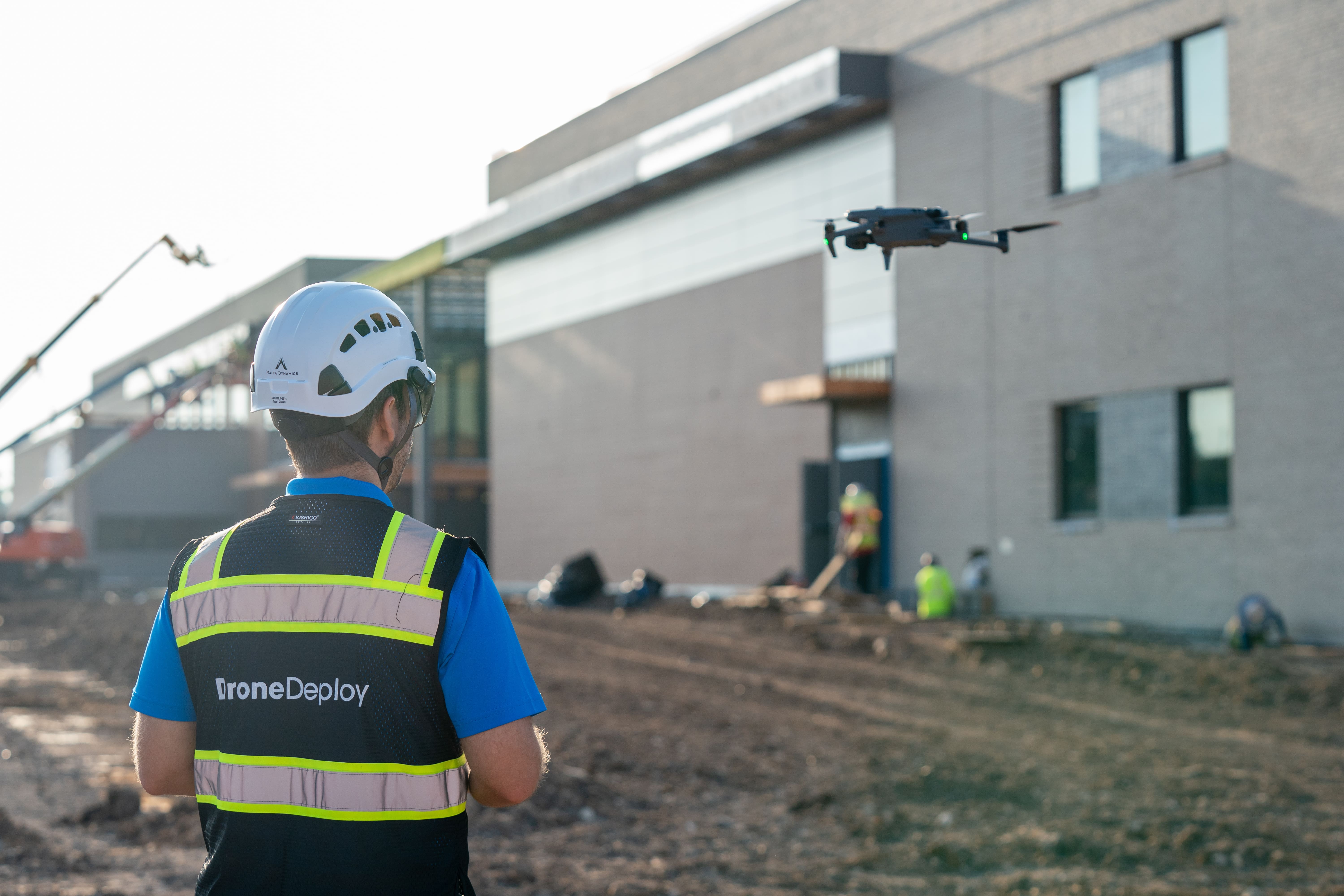
Plan autonomous RTK missions with DroneDeploy’s Flight App
The Mavic 3 Enterprise comes with a high-resolution 20MP sensor, increased flight time, a mechanical shutter, and an RTK sensor making it the perfect small commercial drone to create high-accuracy maps. Using DroneDeploy’s Flight app to produce high-quality maps, you can ensure you're leaving no blind spots on the site, facility or asset you're trying to capture.

High-Accuracy Mapping with RTK
The Mavic 3 Enterprise comes with an advanced RTK (real-time kinematics) module, delivering sub-inch accuracy with less time spent managing GCPs (ground control points). With DroneDeploy's RTK workflow, you can create more accurate maps for highly accurate cut/fill analyses, volumetrics, stockpile measurements or design file comparisons.
Connect to RTK instantly in the DroneDeploy flight app, no additional steps or NTRIP credentials required.


How to use PPK with the M3E
DroneDeploy now supports PPK processing for all DJI RTK-equipped drones! If you’re flying outside of our RTK coverage area or somewhere with poor internet connectivity, DroneDeploy will automatically apply PPK corrections when uploading your data. Even if you didn’t fly with DroneDeploy, PPK corrections to images will still be applied, giving you even more options to create high-accuracy maps in DroneDeploy.
Learn more about the M3E
Faster Flight Time
Equipped with a larger battery, the Mavic 3E now delivers 45 minutes of suggested flight time!
Higher Quality Image Capture
The Mavic 3E 20 MP camera and 4/3" CMOS sensor will help you capture higher quality images than ever before.
New Mechanical Shutter
Unlike the standard Mavic 3, the Mavic 3E comes with a mechanical shutter that is a game changer - helping you capture more stable and higher-quality images.
RC Pro Smart Controller
With the new RC Pro Enterprise Smart Controller you no longer need to rely on piloting from your phone or tablet.
Better Obstacle Avoidance
The M3E comes equipped with new six crash sensors that make up its new omni-direction position system, reducing the odds of collision.
Thermal Capability in the Mavic 3T
Want to take your maps one step further? The Mavic 3T comes equipped with a thermal sensor — allowing you to take detailed temperature readings of your site or project. DroneDeploy also supports the Mavic 3T for flight, mapping and radiometric processing, bringing an added level of intelligence to your thermal maps. The Mavic 3T also supports RTK mapping delivering sub-inch accurate measurements.
%201.webp)
Start capturing with the Mavic 3E
Get precise mapping results with the DJI Mavic 3 Enterprise Ready to Fly Bundle. This powerful drone offers a mechanical shutter, 56x zoom, and RTK precision. Find the perfect bundle at Drone Nerds and streamline your workflows!