How Stacy Witbeck standardized reality capture across every rail corridor they build
.svg)
Quick Summary
The challenge
Stacy Witbeck builds transit, light rail, streetcar and high-speed rail that run for miles and last for years.
Documenting and surveying active linear jobsites at that scale is hard, and harder still on the large and complex projects where airspace and hardware rules are tight.
Working from a single Operations Technology group, Stacy Witbeck standardized on DroneDeploy across the company. Their workflow is deliberately simple: a Part 107 pilot, a DJI drone with an RTK antenna, and aerial and ground capture in one place.
Stacy Witbeck’s reality capture program now covers 86 sites and 5,594 flights, and the manager who runs it calls it one of the easiest technology rollouts he has ever pushed.
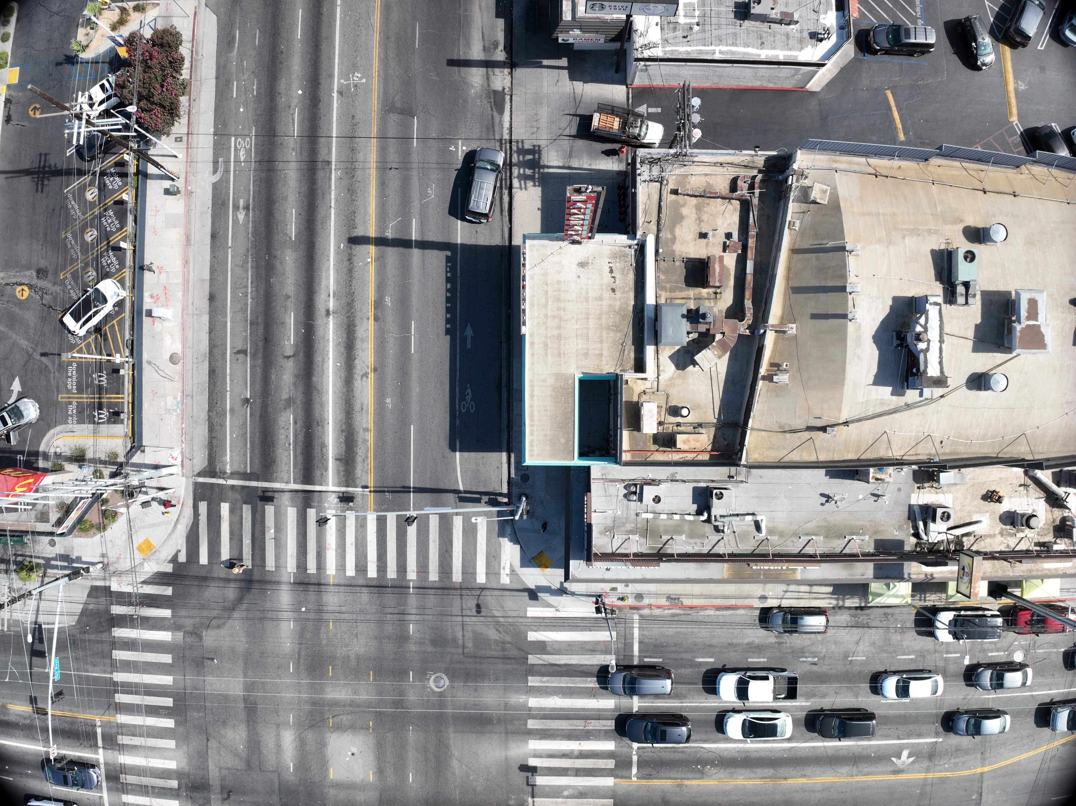
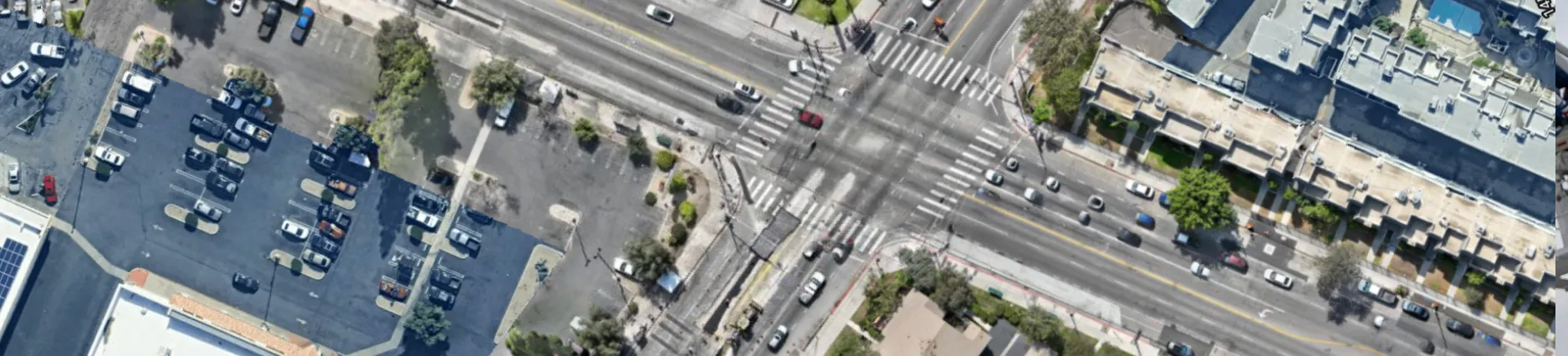
For a contractor self-performing miles of linear work, the old answer was traditional surveying equipment and a lot of driving. That approach does not scale across an alignment that runs 30 miles, or a high-speed rail alignment that runs 150 miles.
Whatever the teams flew had to be accurate enough for planning and scheduling work to build from and simple enough for any project team to operate, without putting a specialist on every mission.
The solution
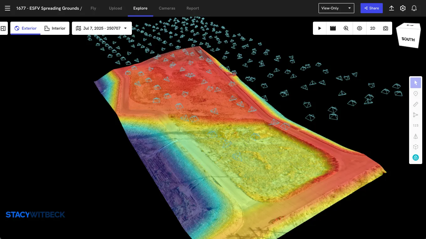
Stacy Witbeck’s response to that challenge was a repeatable program that most of the project teams could easily utilize: DJI Mavic 3 Enterprise drones with RTK, ground capture for detail at grade, and DroneDeploy to tie it together.
- Aerial mapping with RTK produces 2D and 3D data across long corridors.
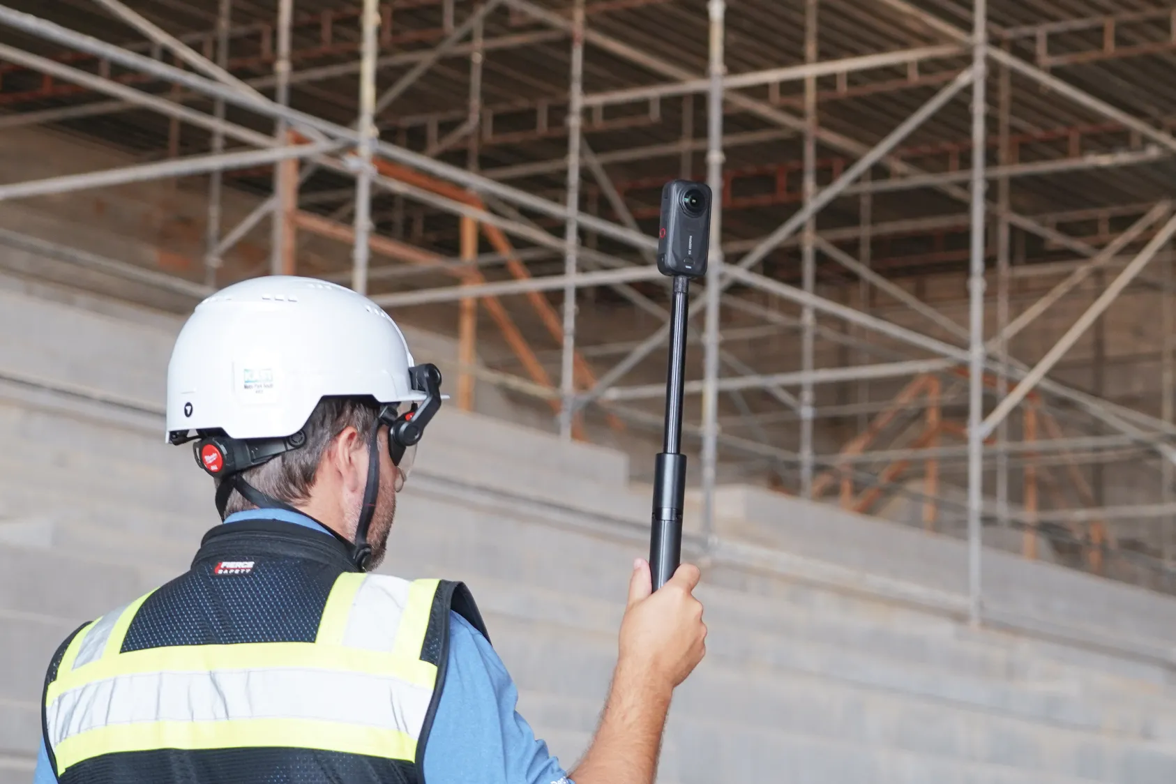
- Ground capture records what aerial mapping cannot reach: track, sidewalks and conditions at grade, in the same platform.
- A shared historical record lets owners, designers and field crews look at the same site, then go back to any date to see what was actually there.
What began on a handful of projects became the company standard. New teams do not start from scratch. They inherit a workflow that already works, making it easier to adopt and repeat.
"Someone achieves their Part 107 license, we then issue them with DJI’s Mavic 3 Enterprise drone with an RTK antenna, and we get pretty darn accurate data out of the box. All the project teams love it. It's one of the easiest tech initiatives I've pushed in this role." — Sam Stone, Operations Technology Manager, Stacy Witbeck
The results
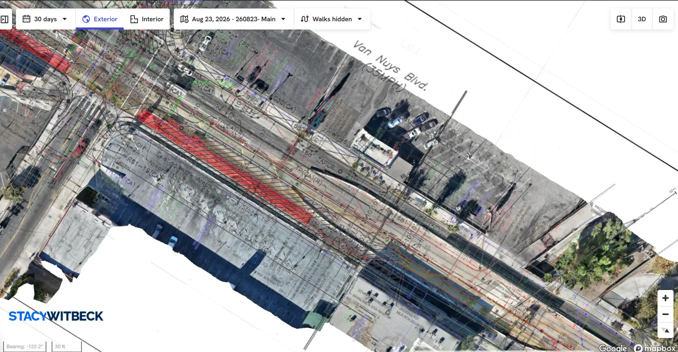
On one progressive design-build project, the team used ground capture to document miles of live alignment so designers could work from current conditions instead of scheduling a site visit. "We essentially ground-mapped 30 miles on a truck sitting on the rail. They just drove," Stone said. "And the designers reference it as they are literally building design."
That record is now part of the daily workflow. "We look at the historical flights all the time, what equipment was on site on a given day, what it looked like, how it changed," Stone said. "We're using that all the time."
Across the company, the pattern repeats:
- Faster design turnaround on active, multi-year corridors
- One accurate record, shared across owners, designers and field crews
- A simple, repeatable workflow that teams can adopt without a mandate
It grew because it worked. Sam Stone and project management lead Brendan Coburn set out to build exactly that kind of pull when they first took it company-wide.
"We've successfully launched DroneDeploy on over 80 sites and the project teams really like it," Coburn said. "Sam is putting the infrastructure in place so any new project can get up and running."
The future
For Stacy Witbeck, reality capture is now the baseline for how the company documents its work, not a tool that lives on one job. The account numbers show the shift:
- 86 sites across the transit portfolio
- 5,594 flights to date, 507 of them in the last 30 days
- 72,678 images uploaded in the last 30 days alone
- 1,974 ground walkthroughs captured, carrying the record from the air down to grade
- 1,048 maps and 1,204 overlays built for design and field reference
- 110 pilots inside the company, backed by hundreds of analysts and editors plus 540 external collaborators, including owners and design partners
A customer since 2020, Stacy Witbeck runs the platform across aerial and ground, and keeps finding new uses for it: corridor missions for linear rail, volumetric tracking of materials like ballast rock, automated capture for sites hundreds of miles from the nearest office.
Asked how the platform compares with the alternatives his crews have tried, Stone did not hedge. "DroneDeploy's software is better," he said. "I'm confident saying that."
By standardizing on one platform, Stacy Witbeck gave every project the same accurate record and the same shared view of the work, a company-wide standard for how a builder of more than 650 miles of track documents what it builds next.
About Stacy Witbeck
Founded in San Francisco in 1981, Stacy Witbeck is a full-service heavy civil contractor known for alternative delivery of complex infrastructure and ranked No. 6 Mass Transit/Rail Contractor in the US by ENR. The 100% employee-owned firm, headquartered in Alameda, California, has built more than 650 miles of track and delivered signature projects that include the Sixth Street Viaduct in Los Angeles. Its brand promise is "A partner you can trust."
.png)
FAQ
Related articles

Ready to learn more?
Contact sales to see how DroneDeploy can give your teams the power to document and analyze your sites from the air and ground – all in one AI-powered platform.