Feel Good Friday: How Scientists Are Using Drone Technology to Monitor IceCaps
.svg)

Quick Summary
In a new study published by Science, researchers found that Alaskan glaciers are melting at a rate of 100 times faster than previously thought. NASA states that by the year 2100, sea levels will have risen by 26 inches, causing significant problems for coastal cities. With these staggering numbers, it’s no surprise that scientists, local governments, and top institutions are jumping to study and understand the effects of climate change – before it’s too late. On this Feel Good Friday, we’re shedding light on the researchers at the front lines of this effort; those who are monitoring glaciers, constructing 3D models, and tracking changes year-over-year.

An Elevated Viewpoint
As one could expect, the harsh weather and dangerous conditions in Arctic areas prevent scientists from regularly studying and generating quality results. Satellite imagery isn’t as precise as needed, and using planes is an expensive necessity. Fortunately, many scientists have adopted drone imagery to provide a safe, reliable capture of glacial changes.
Researchers at the University of Cambridge utilized drones to watch Greenland’s ice sheets fracture in real-time. Nearly impossible to observe firsthand, drone data accurately measured how lakes were draining and contributing to rising sea levels - an estimated 40% of Greenland’s total. Greenland is a hot spot for these researchers, as their glacier meltings alone contribute to a 1 mm rise in sea levels each year. In an ongoing study by Aberystwyth University, drones equipped with multispectral technology identified algae that potentially encourages accelerated warming.

Observed Changes and Reconstruction
In a project sponsored by the University of Iceland and Icelandic Meteorological Office, images gathered from numerous drone flights were used in conjunction with photos captured by an airplane in the 1980s – allowing scientists to reconstruct the glacier’s melt rate over time. These insights found that the Vatnajokull icecap had decreased by the size of a 5-story building over the last 30 years.
Similarly, Edinburgh University researchers flew over the Andes mountains to create 3D models of the Llaca glacier for monitoring structure and size changes. Using both thermal and multispectral cameras, scientists were able to study individual properties on the surface and record their effect on the glacier’s melting rate. With the Andes holding 70% of total glacier area in the tropics, it’s imperative to prevent another 30% decrease as has been customary the past few decades.
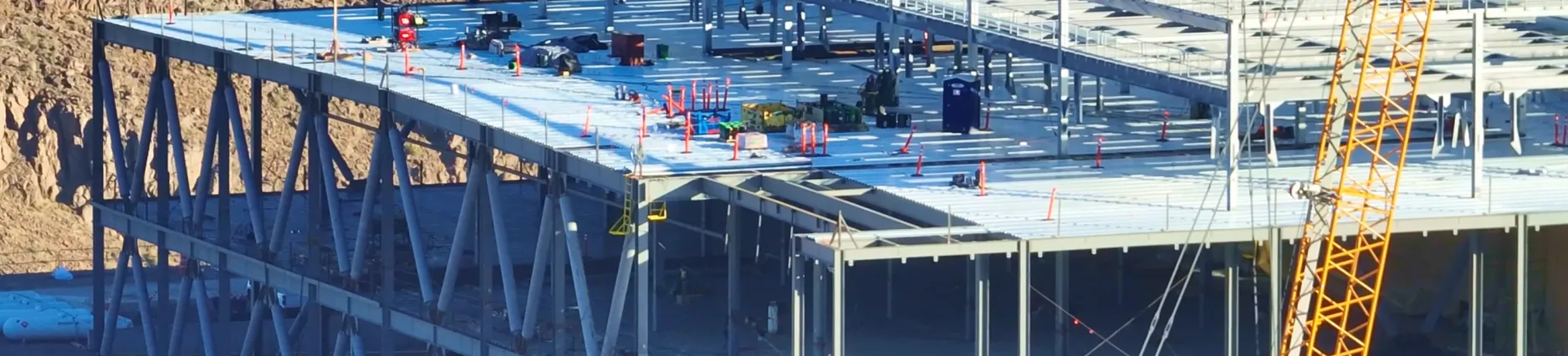
DroneDeploy was founded with strong conservation principles, and we salute the scientists doing their best to study and combat the effects of climate change. If you’d like to learn more about our .Org partners, read some of our success stories, or contact us. Interested in learning more about drone use throughout 2020? Download our State of the Drone Market report.
.png)
FAQ

Ready to manage your data from the very start?
Book a quick call to see how DroneDeploy streamlines capture from construction through building ROI.