Book a meeting at Trimble Dimensions. Get ground control points.
Book 20 minutes at booth 2135, and you could win ground control points with stakes included. DroneDeploy gives you a current site record between survey visits, and works alongside Trimble tools.

Used on 3 million sites in 180 countries







Check quantities against what is on the ground today.
Documentation & disputes
Quantities and pay apps start from the same map.
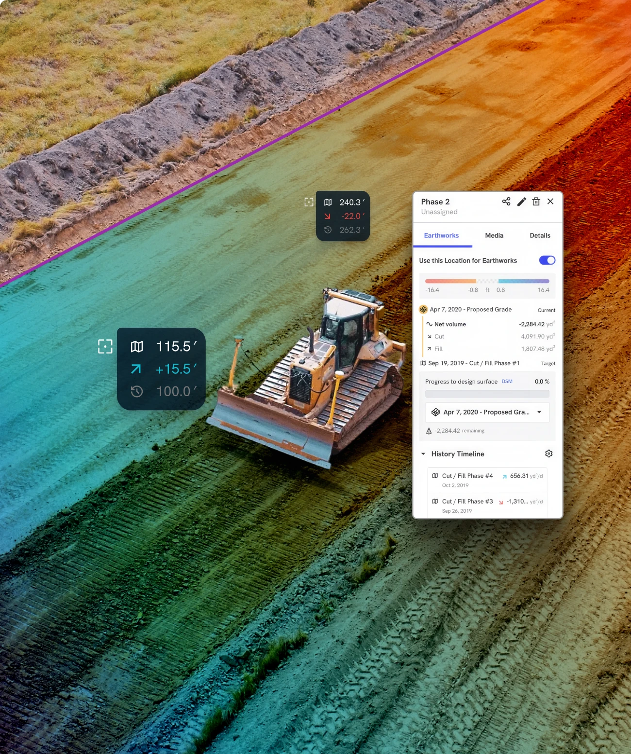
Compare dated aerial maps to the design surface, imported as DXF or LandXML, so cut/fill and pay app quantities come from one record.
Scheduling & planning
Grading and crews work from a current surface.
Survey keeps final certification. Each Aerial Pro map carries a control badge (RTK, PPK, GCP or checkpoint), giving crews a reference between visits.
Aerial & ground
Drone maps, 360 walks and 3D scans in one project.
DroneDeploy Aerial and Ground sit on one platform, so a drone flight over a pad and a 360 walk through the building reference the same record.
Tuesday, November 10
Join our bay at Topgolf
We are hosting an evening at Topgolf Las Vegas with the DroneDeploy team and other civil and survey teams from the show. Space is limited to 40 guests, tee time is 5:30PM. If you’re interested in attending, please email us at [email protected]

Our team is at Booth 2135 at The Venetian in Las Vegas.

One kit per project per company. Available to companies that meet with DroneDeploy at Trimble Dimensions about an active or upcoming civil or earthwork projects where DroneDeploy could be used. Existing DroneDeploy customers qualify. While supplies last.