How civil contractors verify material moved with drones
.svg)
Quick Summary
Heavy civil teams live and die by one number: how much material moved. DroneDeploy captures the site and measures that number against known survey checkpoints, so cut and fill hold up in a pay app or a dispute. One verified record, from bid to as-built.
On a grading job, the number that matters is how much material moved. It drives the pay app, production rates, the haul-off, the schedule and every conversation with project stakeholders. When that number comes from a rover shot taken three days ago or a foreman's estimate, it becomes something to argue about. When it comes from a map you can verify against known survey checkpoints, the argument ends before it starts.
The same verified record runs the length of the job. It backs the bid and tracks earthworks against design. It documents utilities before backfill and becomes the as-built at closeout.
DroneDeploy gives heavy civil teams one place to capture the site and measure what moved, with the same record open to the field and the office.
What follows is what "accurate enough for earthworks" actually means, and the tools that turn a survey-grade drone map into a decision.
One platform for the whole earthworks cycle
Heavy civil work happens from the air and on the ground, and it runs over months. A single capture method rarely covers it all.
Aerial handles the site-wide mapping crews measure from, whether that's existing conditions before breaking ground, cut and fill during mass grading, stockpile volumes or progress week to week.
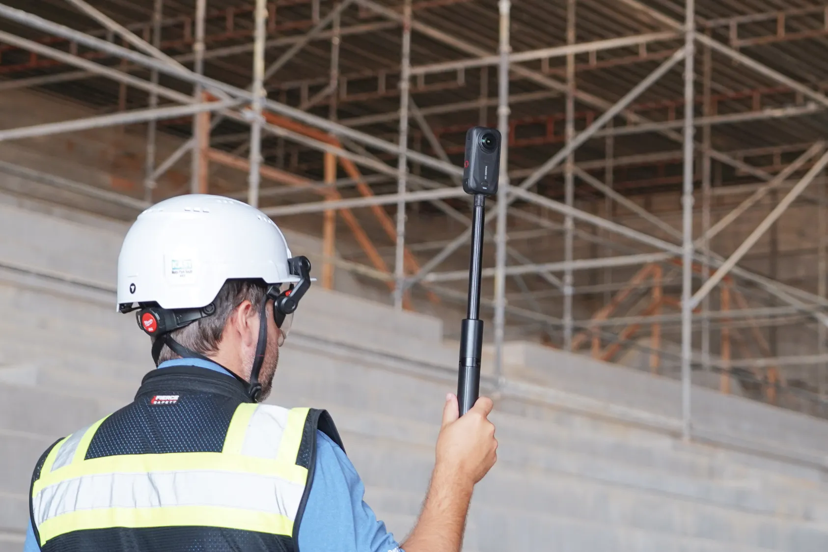
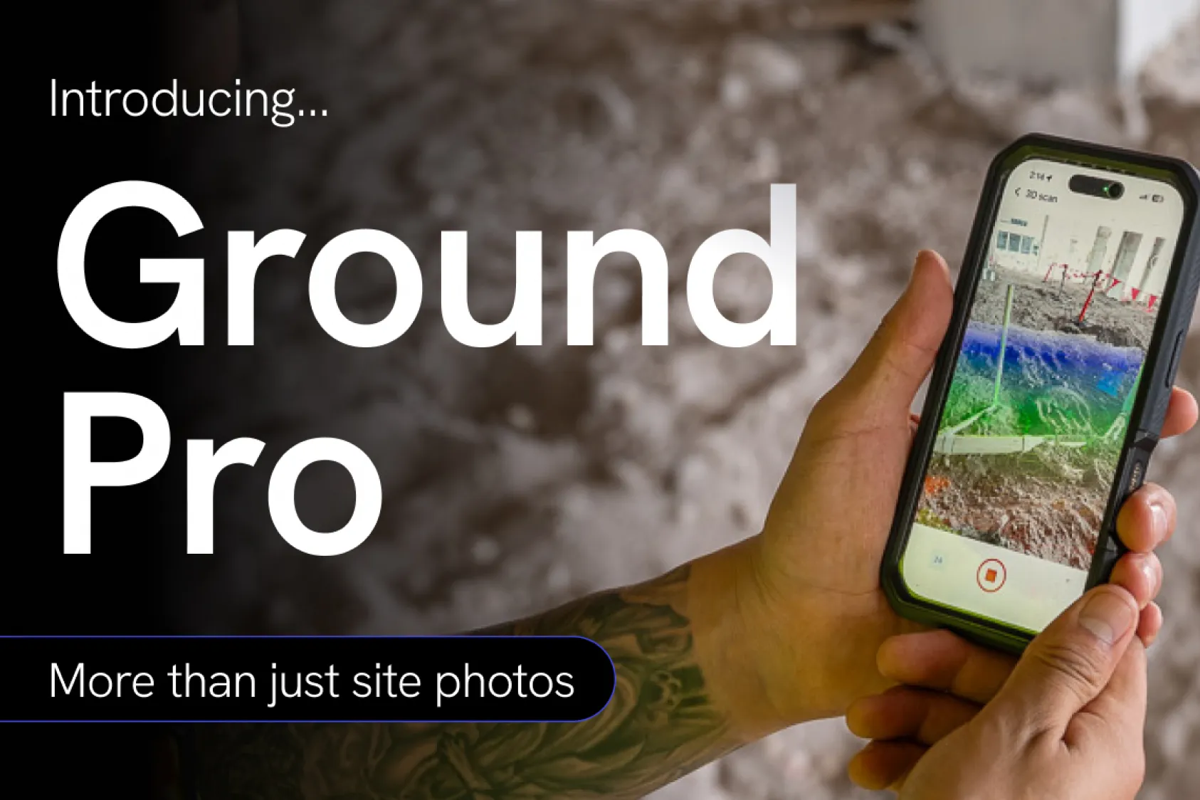
Corridor flights follow the linear work, like roads and pipeline runs. Docked drone automation keeps the record current without sending someone out to fly. And Ground captures what the drone can't see, like open trench conditions or a silt fence that has to hold through the next storm.
One record means nobody's rebuilding the story from stale files and whatever photos are on someone's phone.
"Having the 360 walks, aerial shots and cut-fill analysis all in one spot saves us from going to three different places for information."
— Christopher SanFillippo, Superintendent, Skanska
What "tight" actually looks like
In heavy civil, accuracy has a number attached to it. On an earthworks job, survey-grade means checkpoint and GCP residuals within a tenth of a foot, horizontal and vertical, so cut and fill quantities hold up when a pay app is submitted or a dispute lands. Every surveyor and foreman knows why it matters.
When the drone map doesn't match the rover shot, contractors stop trusting drone maps and go back to traditional methods.
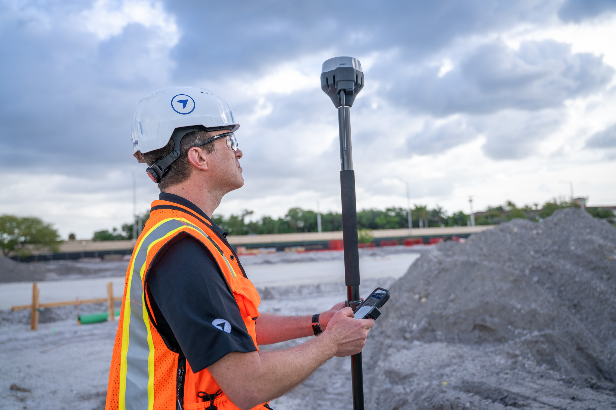
Getting there takes more than a good drone. It starts with proper planning and great survey control. Then we move to capture. Connect to DroneDeploy’s RTK network in-app with no separate NTRIP setup, or use built-in PPK processing with network corrections or your own base and rover observations.
For ground control, import GCPs and tag them in your imagery, then reuse a project-level GCP library across new flights and hold the result to known survey checkpoints. Savvy surveyors will shoot a few ground shots to validate once the map is created.
Processing carries that control through to build 2D maps, 3D surface models and point clouds you can measure from. Every map then carries badges for RTK, GCP, PPK and checkpoints, so the crew can see which ones meet the standard, and accuracy alerts call out a map that's out of tolerance before anyone measures off it.
When the control gets complicated, DroneDeploy's geospatial experts help sort it out and get your crew trained.
Turning an accurate map into a decision
A verified map is the starting point. The work is comparing it to design or yesterday’s progress and breaking the numbers down where crews and pay apps need them.
Import your DXF or XML design surface and compare existing terrain to final grade. Cut/fill visualization shows where material still needs to come out or go in, so a foreman sees the plan against reality instead of reading it off a stake. Terrain edit flattens out equipment and vegetation before you calculate, so a parked dozer doesn't skew a volume.
The grid-based earthworks view overlays the site with customizable per-cell cut and fill quantities. Location-based metrics break those quantities down by named area, so cut and fill ties to a specific pad or block instead of one site-wide figure. Run the timeline back to any prior date and the record of what moved, and when, is already there. Look ahead and you can see how the site is progressing to final grade.
For the crews building to the grading model, custom grids and vertical datums keep the surface aligned to the site's own control, so what the drone measures and what the machines build are the same thing.
"Our subs bill us for earthwork moved. We showed them our drone results and they said, 'that makes sense; it's a lot more precise than what we're doing.'" — Scott Brown, Construction Technology Manager, Garney
Capture the data automatically
Accuracy only helps if the data is current, and keeping it current is where a lot of programs stall. Not every crew has a certified pilot or wants to manage a fleet.
There are two ways around that. With Data on Demand, you request a flight and a certified pilot captures the site for you. Survey-grade maps and 3D models land in your account, and no one on your team touches a controller. The capture runs inside the platform you already use, so there's no outside vendor to coordinate or data to chase down.
For sites that need frequent capture, docked drones with remote operators can fly multi-battery missions that cover large sites, and they run the same path every time, so week-over-week comparisons actually line up. Docked drones are rapidly becoming the gold standard for mega projects like data centers.
"Before the trench gets backfilled, that dock can go up and map the whole site. We know where that service has been installed to one-inch accuracy." — Arran Scallion, PSIO Coordinator / UAS Manager, Laing O'Rourke
See reality capture in action on Heavy Civil projects:
The bottom line
Civil construction runs on numbers people are willing to trust. Build accuracy in at capture, verify it against survey checkpoints, compare it to design and keep it current, and earthworks stops being a debate.
See how heavy civil teams document material moved with DroneDeploy. Book a demo.
.png)
FAQ
Related articles
Ready to learn more?
Contact sales to see how DroneDeploy can give your teams the power to document and analyze your sites from the air and ground – all in one AI-powered platform.