Disaster Relief Australia Partners with DroneDeploy.org to Provide Disaster Relief
.svg)

Quick Summary
Disaster Relief Australia, a veteran-led humanitarian organization, uses DroneDeploy to deliver fast, accurate aerial intelligence during disaster response efforts. Since 2016, their teams have mapped disaster zones to guide search, rescue, and recovery operations. In Indonesia's 2018 earthquake and tsunami, they flew 42 missions in 48 hours, capturing data that accelerated rescue efforts. More recently, during Australia's bushfires, they used drone mapping to assess damage, protect infrastructure, and plan evacuations – demonstrating how aerial insights can dramatically improve response speed and coordination.
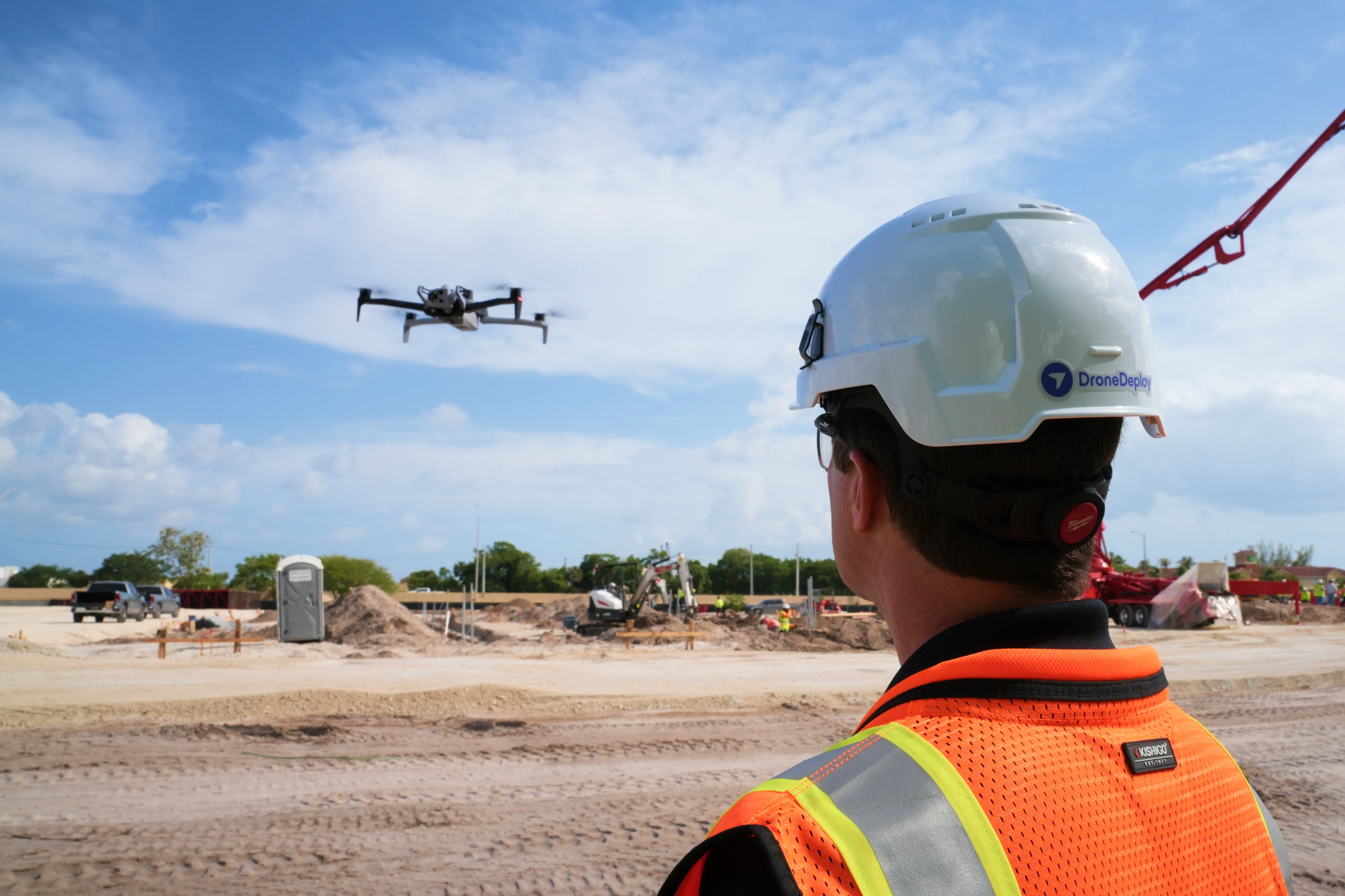
Since its inception in 2016, Disaster Relief Australia (formerly Team Rubicon Australia) has been deploying its highly skilled teams to aid in disaster relief operations around the world. Comprised of military veterans, emergency response professionals, and passionate civilians, these teams provide their members with a sense of purpose and community while assisting those in need. After realizing the need for aviation intelligence in their operations, Disaster Relief Australia partnered with DroneDeploy.org to map the areas most affected by natural disasters.
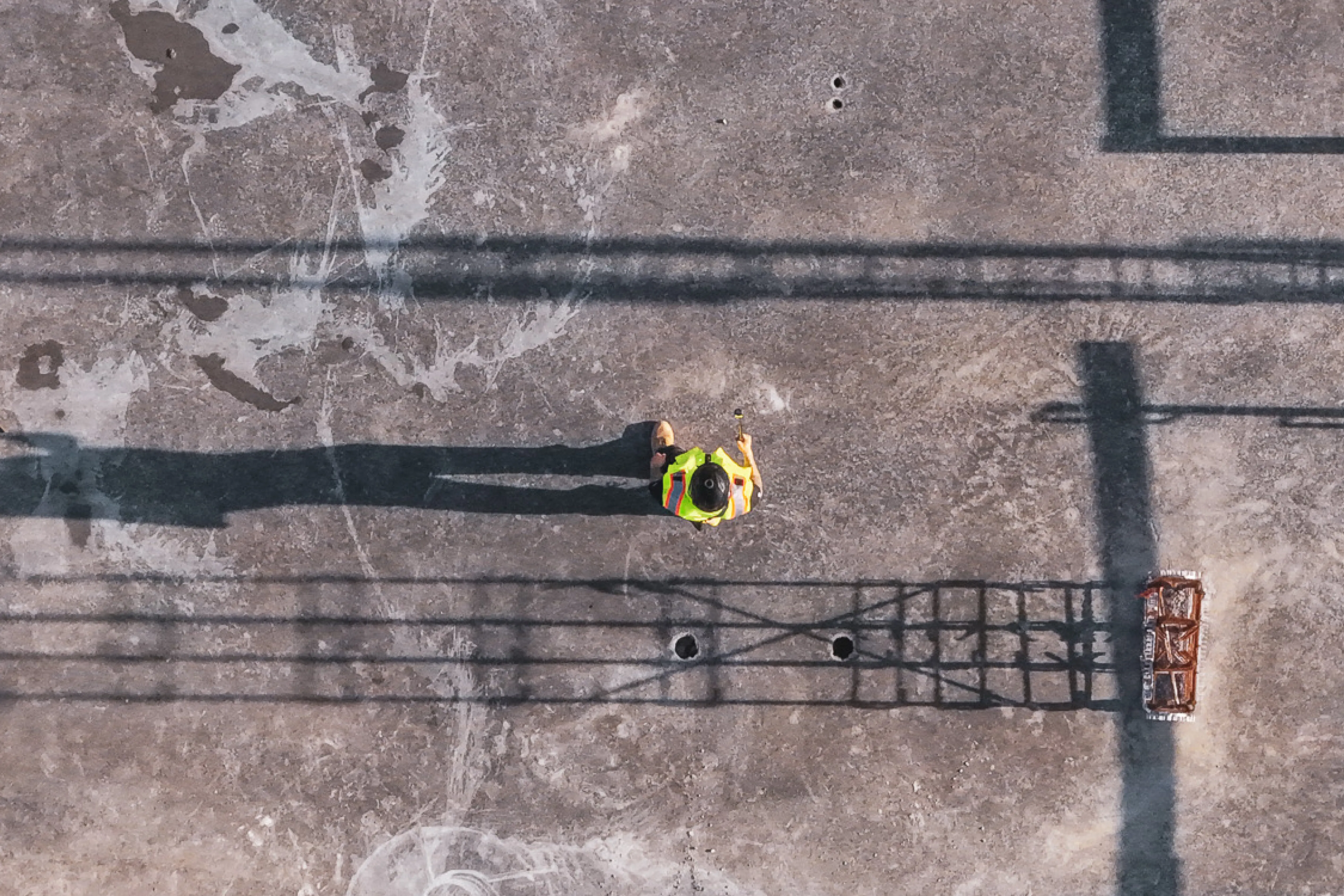
Disaster Relief Australia’s Aviation and Intelligence Program Manager and 2019 DroneDeploy Conference Keynote Speaker, Rich Adams, expressed the need for software that would be used to find new opportunities, not just solve problems. Being able to provide quick, accurate data to the appropriate authorities while minimizing costs and effort was imperative to Disaster Relief Australia’s operations. During the immediate aftermath of Indonesia’s catastrophic earthquake and tsunami in 2018, Disaster Relief Australia was able to fly 42 missions, capturing 6,000 images over 104 acres of land. This data was then used to identify structures and jump-start search and rescue teams’ operations within 24-48 hours.
Most recently, Disaster Relief Australia has been providing relief to those affected by Australia’s massive bushfires. With emergency response professionals deployed on the ground, Disaster Relief Australia’s aviation intelligence teams are using DroneDeploy to survey damage and plan clean-up efforts. Their efforts have also been instrumental in assessing critical infrastructure and evacuating at-risk residents.
.png)
FAQ

Ready to manage your data from the very start?
Book a quick call to see how DroneDeploy streamlines capture from construction through building ROI.