California Resources Corporation Customer Success Story
.svg)

Quick Summary
$205k
in realized savings over previous process
40%
time reduction for all inspection workflows
100%
of drone flights logged through DroneDeploy
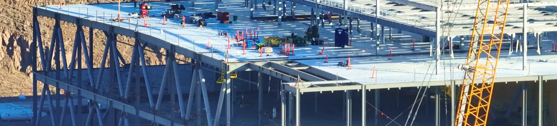
Since 2015 the oil & gas industry has begun a shift away from a production-centered mindset to a deeper focus on efficiency and safety. In order to accomplish this, companies have begun investing heavily in new technologies. Specifically, the California Resources Corporation (“CRC”), the largest oil and natural gas producer in California, has taken significant strides to employ proven modern technologies – especially drones – as a way to enhance safety, promote communication, and improve production efficiency and reliability.
We were looking for an elegant solution for automated aerial imagery, mapping, and program management

Alvin Rentsch, Transformation Architect, California Resources Corporation
CRC incorporated drones and DroneDeploy software into its operations back in 2018, but in less than two years, they are already realizing the benefits. While still early, CRC estimates the financial impact of using drones and DroneDeploy to be in the hundreds of thousands of dollars, and that level of savings has continued to flourish. They also found these new technologies improved communication and streamlined operations, while significantly reducing the cost of inspections by eliminating the need for expensive manned aircraft, and lessened the risk to personnel.
Improving Communication Across Teams

CRC was looking for a way to easily pull data from the field and upload it to a centralized place, a process that would allow the right people to have access to all aerial visuals while analyzing remotely.
Using DroneDeploy, CRC could send out a team of pilots to fly several different areas of land and upload those captured images, videos, and panoramas to the cloud, enabling their analysts to work from accurate maps and models without the need for radios or similarly faulty communication techniques.
Drone Operations Management
Effective communication is especially key considering CRC, a 1,500 employee company, currently has 26 licensed drone pilots with a plan to grow that number to more than 100. With such a large operating fleet, it’s imperative things are running smoothly while accurately capturing their assets.
In the last year, CRC has deployed drones daily to help save time, money, and increase operational efficiencies.

CRC holds the largest privately-held mineral acreage in the state, consisting of 2.2 million net acres spanning the state's four major oil and gas basins. With such a large span of land, CRC was finding it difficult to construct an accurate digital property record of these millions of acres, with 95% of their assets absent from a centralized database. When they implemented drones in their operations, a solution was finally at hand.
But how could CRC properly track their pilots were flying the same plots of land, using the most precise flight plans, without doubling up on work?
With Drone Operations Management, CRC could automatically collect detailed flight logs for all drone flights, filter through specific individuals, projects, and timescales, and create custom pre-flight checklists with responses automatically recorded against the flight record. This enhanced visibility to their operations across the entire team by maximizing data capture. CRC found this could scale its program without delays, mistakes, or extra costs, allowing them to capture all of their assets, across the millions of acres of land, in just a fraction of the time. This also gave them the peace of mind knowing all pilots were flying safely and in compliance.

Improved Inspections
Inspections are one of the most vital aspects of an oil & gas company’s operations. Inspections can be used to detect dangerous methane or H2S gas leaks, ground subsidence of well pads, or flare stack anomalies. What CRC finds so advantageous about using drones for inspections is that they can go from being reactive to any repairs needed to be done, to proactive in preventing such repairs in the first place.
CRC used DroneDeploy topo flights to monitor anomalies that would otherwise be missed by performing inspections manually. Humans cannot always detect the minute cracks that can appear on the ground surface location, so CRC had a major need for some type of device in lieu of the human eye. The tiltmeter they were using, however, was exorbitantly priced, sometimes costing as much as $7,000 each. Another drawback of the tiltmeter was that it had to be dug deep underground for installation, adding several unnecessary hours to the production schedule.
The drones could be deployed to run regular flights and detect any anomalies; CRC could then be alerted to any irregularities. By using drones and thermal imagery, not only could they detect such instances accurately, they could act faster, saving both time and money.

California Resources Corporation Uses DroneDeploy to fly and map thermal imagery and conduct thermal inspections
Drones and DroneDeploy have saved CRC over $205,000 in the first half of the year with an expected realized saving to be around $500,000 by the end of 2019. All attributed to inspections, surveillance, mapping, and reliability.

Maurilio Espinoza, Process Excellence Lead, California Resources Corporation

Using drones also reduced the overall effort normally needed to perform such inspections. With pipelines often spanning thousands of acres, it can take days – even weeks – for a team of workers to complete their examinations. For CRC, one of the largest areas they are required to monitor is over 22,000 square acres. In total, they have over 30,000 wellpoints needing to be assessed. Manually and visually inspecting each and every wellpoint is far from prudent. And if workers are incapable of driving or walking pipelines, CRC needed to rent helicopters, which are extremely costly and frequently inaccurate.
Not only did drones significantly cut down on the inspection budget, but CRC also gleaned answers in record time.
Looking Ahead
CRC’s goal is to have a drone in every single one of their field vehicles – currently, they have over 50 vehicles with enabled Wifi internet access (Mobile Offices). They would also like up to 6 pilots per operational area. California Resources Corporation knows drones and DroneDeploy catch issues that need to be addressed far earlier than their usual yearly checks, and their plan is only to grow the program that will inevitably save them tens of thousands of dollars and cut unnecessary staffing hours.
Want to Learn More
Check out How To Perform Thermal Inspections or Start a Trial today.
.png)
FAQ


Ready to manage your data from the very start?
Book a quick call to see how DroneDeploy streamlines capture from construction through building ROI.