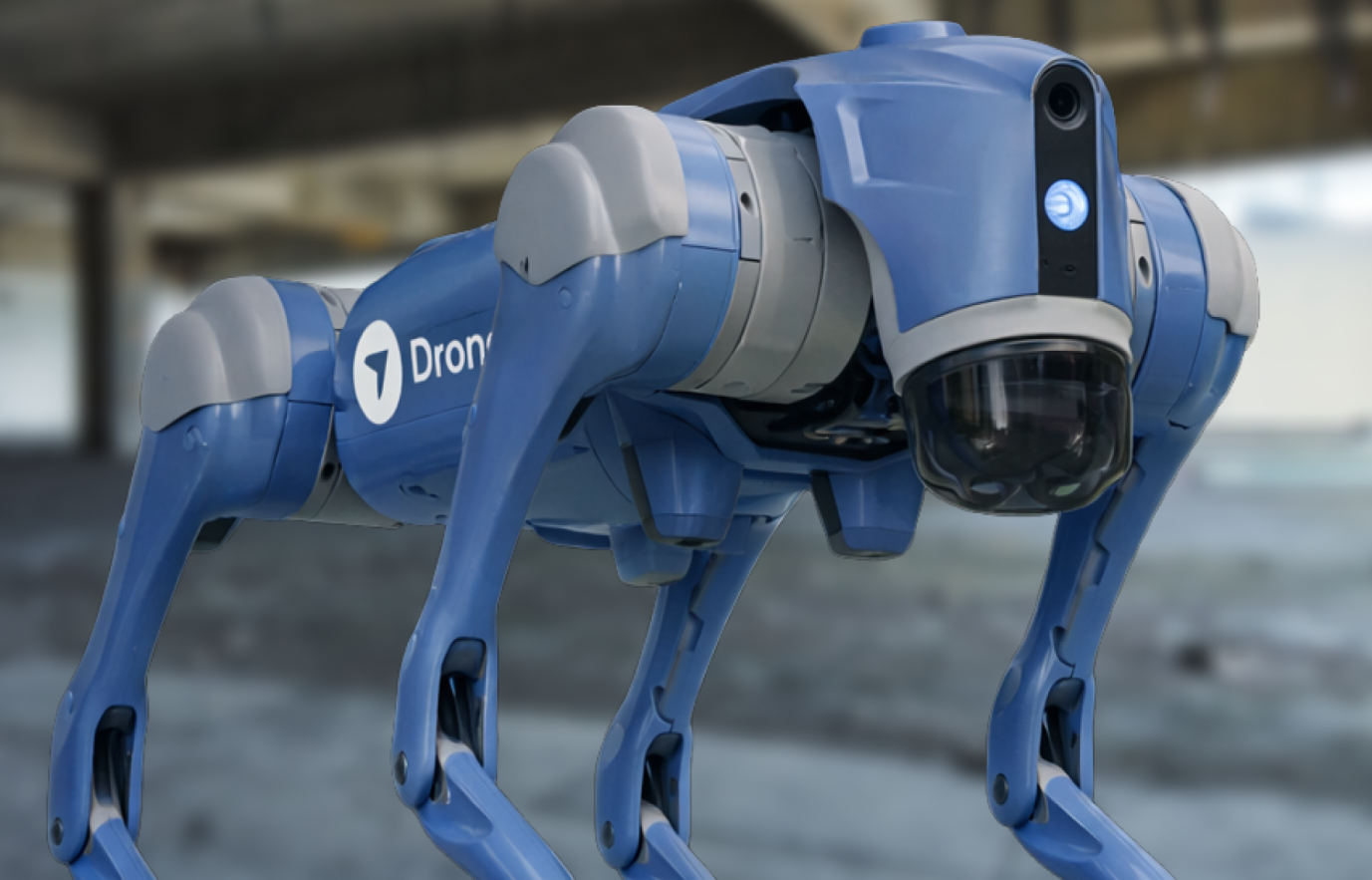
The Future Is Now: How Drone Software Brings Tangible Benefits to the Utilities Sector
.svg)

Quick Summary
As we embark on a new decade, those in the utility industry will stare down several challenges in the years ahead. The workforce is aging. Critical infrastructure is increasingly outdated. Better efficiency and the trend toward renewables has transformed demand. Wildfires and other natural disasters have shaken the industry.
There is no doubt that 2030 will look notably different than today in the utility industry. But the question is: which companies will survive and even thrive in the decade ahead?
Thankfully, DroneDeploy helps provide the industry with profitable results and tangible benefits during construction, inspection, and maintenance projects – which will provide critical value for the industry in the coming years. Let’s take a look at how.

How Drone Software Streamlines Inspections and Maintenance
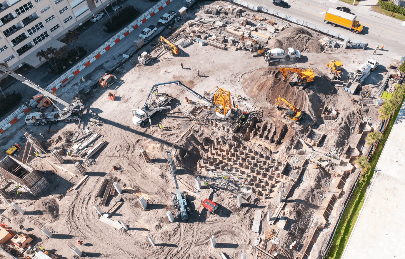
Two of the most significant use cases for drone data in the industry comes in the form of inspections and maintenance. Utility professionals know how vital inspections are to keeping operations running smoothly, safely, and profitably.
Utility companies regularly react to outages, broken equipment, line issues, vegetation encroachment, and more. Drone software empowers utility professionals to fly a repeatable pattern as often as needed, helping businesses stay on top of continually evolving conditions, identify areas of concern, and address issues before they become more problematic and costly.
If there are problem areas on a transmission tower, for example, drone data can make your field team more efficient by identifying the issue and its exact location. This way, workers prepare for the fix before climbing into a bucket crane, scaling a tower, or getting into a helicopter.

Maximizing Safety, Minimizing Risk & Liability
As we know, utility companies routinely inspect everything from towers and power lines to pipes, dams, and tunnels – all extremely hazardous and challenging tasks.
In the past, helicopter crews used to monitor towers, power lines, and other sites. Getting close to wires and towers in a helicopter is inherently dangerous. Because unmanned drones can fly more often and get closer to these physical assets than a helicopter, they provide a safer, cheaper, more precise option without any risk to your aviation crews. Once captured, utility professionals leverage this drone data to gain a 360-degree view into wire issues, damage to cross arms or leaning poles, and vegetation encroachment – all while staying on the ground and out of harm’s way.

Leveraging Drone Software to Prevent and Recover from Natural Disasters
A natural disaster can mean that hospitals, nursing homes, businesses, and residences do not have power. Every hour of an outage can cost communities hundreds of thousands of dollars – and even lives. Drones provide a vital resource because they can be quickly dispatched to examine issues in rural, rugged areas that are difficult to access. Through drone software, live feeds can instantly assess the situation and enable real-time decisions on how to fix the issue and where to send a team.
Operating in remote areas also means that utility companies have an enormous responsibility when it comes to being a good environmental steward and reducing disaster risk. In recent years, the California wildfires illustrated just how dangerous a lack of risk mitigation and oversight could be in the utility industry. PG&E ended up paying more than $13 billion in a settlement with victims of the 2018 Camp Fire and 2017 Northern California wildfires.
DroneDeploy, through its plant health analysis, orthomosaic mapping, and thermal mapping, can help utility companies understand high-risk areas near their operations and help them take action to reduce these risks. Utility companies can also use this data to help when planning to build towers and lines in low-risk areas or cut back encroaching vegetation that may pose a fire risk.

Creating a Central Hub for Field Data
DroneDeploy helps unify disparate teams by providing utility companies with a single source of truth. Colleagues can securely collaborate directly within geotagged 3D models, maps, and renderings, creating annotations and measurements, which means no more mailing SD cards or faxing images to other offices. In the past, utility companies have had to upload data from satellite imagery and fixed-wing drones, and then analyze the data from these photographs. Data capture and management is seamless through DroneDeploy, as data is immediately uploaded into the easily accessible and user-friendly DroneDeploy dashboard for more in-depth analysis.

Looking Ahead
DroneDeploy continues to expand its capabilities when it comes to the utility sector. DroneDeploy has also launched an Esri integration, which automatically brings your maps created in DroneDeploy and showcases them in your ArcGIS Pro or Online instance. Live Stream enables utility companies to get real-time insights into evolving emergency and natural disasters or conduct site surveys with a remote team, which may not be safe for workers on the ground to get near.
Utility companies need to innovate to thrive. They need to find ways to optimize their current infrastructure while simultaneously building a new and better one. Making drone software a critical solution for the industry today will only benefit it in the years to come.
Interested in transforming your company's asset management? Talk to one of our experts, or download our eBook on drone data solutions in utilities.
.png)
FAQ
.png)
Ready to manage your data from the very start?
Book a quick call to see how DroneDeploy streamlines capture from construction through building ROI.