As project auditors for some of the largest construction builds in Colombia, the MAB team supervises nearly every aspect of site operations. “We’re essentially the eyes of the public entity on these projects,” Santiago Grisales, Innovation Director, explained after detailing their involvement in quality control, engineering design, contract adherence, and reporting processes. Within MAB Ingeniería de Valor (MAB), Alejandro Uribe, Drone Operations Lead, with Santiago are seeking to find new technology to optimize their project teams’ and technical inspectors’ construction workflows. Through this desire to improve productivity and efficiency on-site, the company turned to drone technology in 2018.
After a few photogrammetry experiments and software adjustments, the group settled on DroneDeploy as their reality capture solution of choice. “We found DroneDeploy to be the most useful because it allowed us to process our data in the cloud at a low infrastructure cost,” Alejandro stated. Since its inception nearly one year ago, demand for the program has increased exponentially, with tangible results in time and cost savings. Today, Alejandro and Santiago manage over 40 different projects in Colombia, with Director-level requests for drone services and implementation support.

Verifying Work with Aerial Documentation
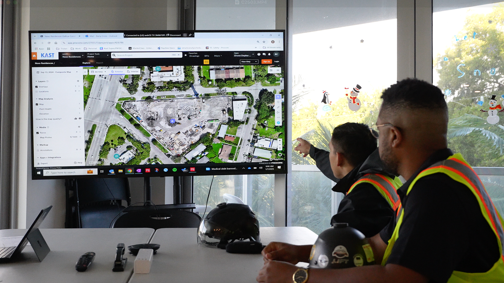
While MAB’s drone program has active pilots flying almost every day on various construction sites, their surveying process looked very different just one year ago. “Verification of areas with material deposits used to take our surveying commission four days, and captured less than 2,000 data points to verify the design of that area,” Santiago told us, “With drone technology, we can fly sites in less than half a day.” This new, streamlined method of site surveying allows for a quick turnaround in processing and profile verification. If there’s any deviation in design, project teams will be some of the first to know.
These aerial insights have made technical inspectors' tasks much more manageable by reducing the time spent on manual labor. Rather than drive to a construction site, unload materials, and measure multiple stockpiles, elevation gains, and the like, these workers can now view this information via DroneDeploy. Instead of gathering these physical data points, returning to the project office, performing more calculations, and uploading a final report, these duties now take just 1-2 hours. While this process typically took days to complete, utilizing drone software has reduced MAB's inspection times by 4.5x.

Expediting Long-Held Construction Processes
Similarly, drone data promotes more regular site surveys because of the technology’s ease of use. “Sites are viewed twice as often as before,” Alejandro said, “and we are further measuring areas and distances to quantify contractor work.” By MAB’s internal estimates, this is 8 times faster than previous methods. “Now, our most time-consuming task is taking annotations,” Santiago added. Proper material disposal, machinery location, and overall project supervision are the most common use cases for drone software, but MAB is continually looking for new ways to innovate. On this note, Alejandro and Santiago shared that DroneDeploy has recently been used to measure vegetation coverage and create inventories for reforestation processes.
In the future, the company seeks to provide a drone on every job site, capturing daily progress for stakeholders spread out throughout the country. By combining drone insights with other analytical tools, Alejandro and Santiago expect workers’ roles to further merge towards supervisory positions as automation takes effect. As one can see, MAB is leading the way for 4.0 technology implementation for supervision processes, supported by drone technology. The organization hopes to continue growing its operations as one of the only firms in Latin America to innovate with drone software.
We’re looking forward to continuing working with MAB to standardize drone knowledge throughout Colombia and beyond. If you’re interested in drone use for construction, watch our webinar on how visual documentation can transform your issue resolution workflow, or contact us for more information.