Pre-construction sets the foundation for any successful construction project. Drone software is rapidly emerging as an essential part of each project prior to breaking ground, ensuring that contractors have the most precise estimates, data, and up-to-date surveys. Drone software is also helping contractors better plan and optimize their job sites, generating the most in-depth site condition analysis, and creating winning project bids.
Let's take a look at how virtual design and construction (VDC) teams at construction companies across the United States are leveraging DroneDeploy through every stage of the pre-construction process.

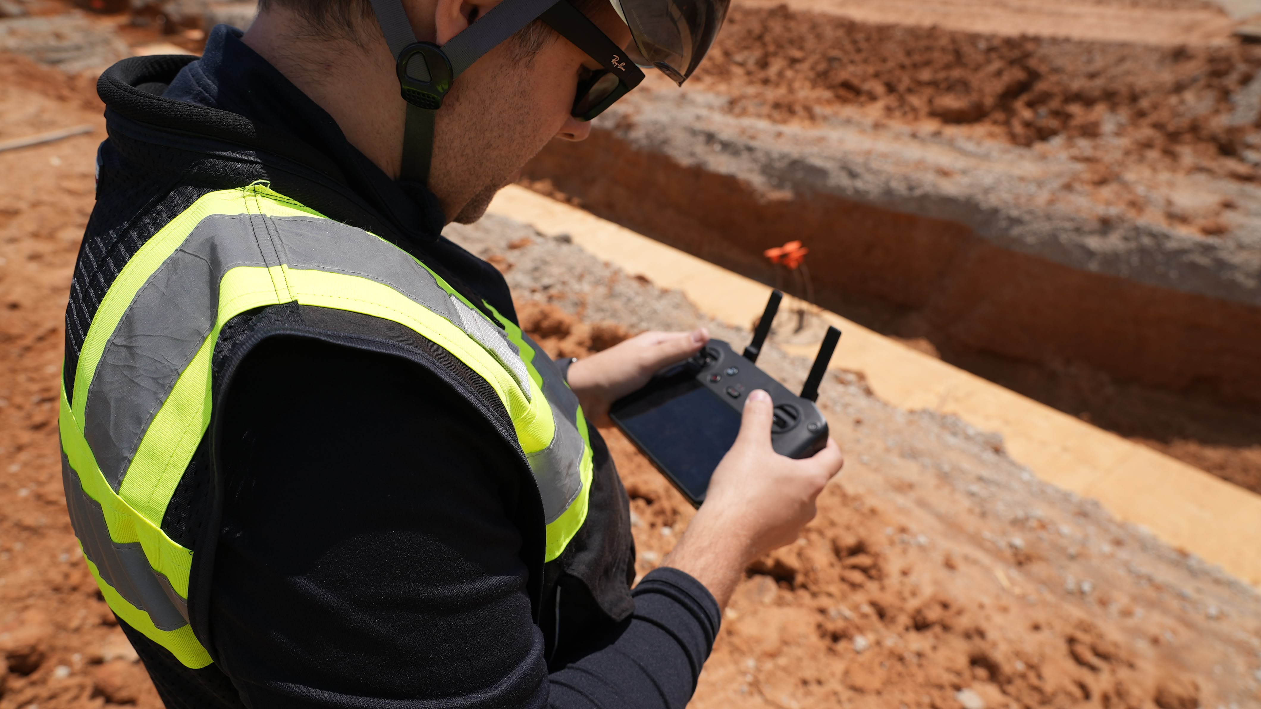
Using DroneDeploy for Surveying & Design
In the early days of pre-construction, it could be time-consuming to gather critical details about topography and potential job sites. Gathering data with traditional ground surveyors often took days to generate data about a new site. And even then, teams could only return data that was as accurate as the grid size. The data processing and delivery of a report could take weeks.
Today, companies are turning to a faster, and more efficient method of surveying: drone technology. A single drone flight can capture hundreds of images and cover over 100 acres in under 15 minutes. Once those images are uploaded to DroneDeploy, companies can garner vast insights about an area's topography and receive a survey that’s accurate down to the centimeter. The result is an exact high-resolution map and 3D model of a job site - all processed in a matter of hours.
When it came to using drones for surveying versus traditional methods, "[DroneDeploy] paid for itself several times over," said Michael Lambert, VDC Manager at Chasco Constructors, a Texas-based construction company. Chasco saw a 75% cost savings for surveys through using DroneDeploy.

Using DroneDeploy to Keep Up With Evolving Conditions
From the very first survey, DroneDeploy empowers construction companies to get the most precise information on any topography.
But conditions can change due to natural conditions, weather, adjacent construction, and more. Through features such as Live Map, DroneDeploy can help construction companies keep a close eye on evolving conditions by viewing a real-time aerial map - while expediting pre-construction planning. This ensures customers are kept in the know about any changes to plans.
Furthermore, DroneDeploy enables contractors to plan and accurately design from bid to earthworks with high-resolution and high-quality maps and models. This is particularly helpful for earthworks, as DroneDeploy's volume measurements are accurate within 1-2% of traditional ground-based laser measurements. Contractors can rest assured they are gaining the most accurate sense of cost and time needed for earthworks.
"With DroneDeploy's earthworks capabilities, I have the confidence I am providing my engineers with accurate information in surveying, tracking progress, and verifying contractor work," said Greg Oetker, a Sr. UAS Pilot and Field Project Representative at Jones Carter, a leading construction engineering company. "I am able to use a map and model to help visualize the site, which makes planning more efficient and accurate. This new way of surveying has saved us hours of time each time we go out and capture data."
Inaccurate estimates for earthwork volumes and areas can compound over time, exponentially growing costs and eroding trust with a customer. Construction and engineering companies that leverage DroneDeploy have the most precise estimates and insights in real-time, which pays dividends throughout the life of a project.

Site Mapping, Planning, and Modeling with Drone Software
Brasfield & Gorrie, one of the largest private general contractors in the U.S., leverages DroneDeploy for a range of pre-construction uses, such as quantifying site work, developing marketing information, coordinating site logistics plans, and fly-throughs.
The company was recently working on a healthcare project in Apopka, Florida, and piloted drones via DroneDeploy to map and produce a Digital Elevation Model. Incorporating DroneDeploy into this process helped them see a 75% reduction in time required for this task, compared to previous methods.
"We’ve created a much more efficient process," says Jim Gorrie, CEO of Brasfield & Gorrie. "We can literally take weeks out of the schedule, our projects are much higher quality than before, and they’re safer."
This new found efficiency is thanks to DroneDeploy providing a single dashboard to optimize the pre-construction process from mapping to site planning, empowering users to share ideas and collaborate within a unified platform.

Winning Bids With DroneDeploy
A bid that overestimates the amount of earth that needs to be moved can unnecessarily inflate the cost and lose the project. One that underestimates this amount can make for an attractive bid, but will cause the contractor to lose money further down the line.
All of the use cases mentioned in this post help construction companies develop comprehensive and innovative project proposals. But the accuracy and precision enabled by DroneDeploy helps facilitate trust, which is vital. Any bid or proposal represents the first chance for a construction company to build a relationship with a prospective client, facilitate transparency, and bring their vision to life for a project. But it's also essential to create a bid that is accurate, provides realistic timeline and budget expectations, and is deliverable.
DroneDeploy arms contractors with the most accurate information available about a site, and then brings a vision into color through high-resolution maps and 3D models. Through integrations with Procore and AutoDesk BIM 360, furthermore, construction companies can overlay plans and blueprints with the aerial map. That lets companies communicate with subcontractors and partners, while helping construction companies put together a compelling, three-dimensional bid.
DroneDeploy Helps You Win the Pre-Construction Process
From day one, DroneDeploy creates transparency, efficiency, and cost-savings for contractors during the pre-construction process. The bottom line is that the most innovative construction companies are turning to DroneDeploy to lay the foundation for long-term project success.
Interested in taking your pre-construction processes to the next level? Read our eBook on managing performance KPIs in construction, or contact us.