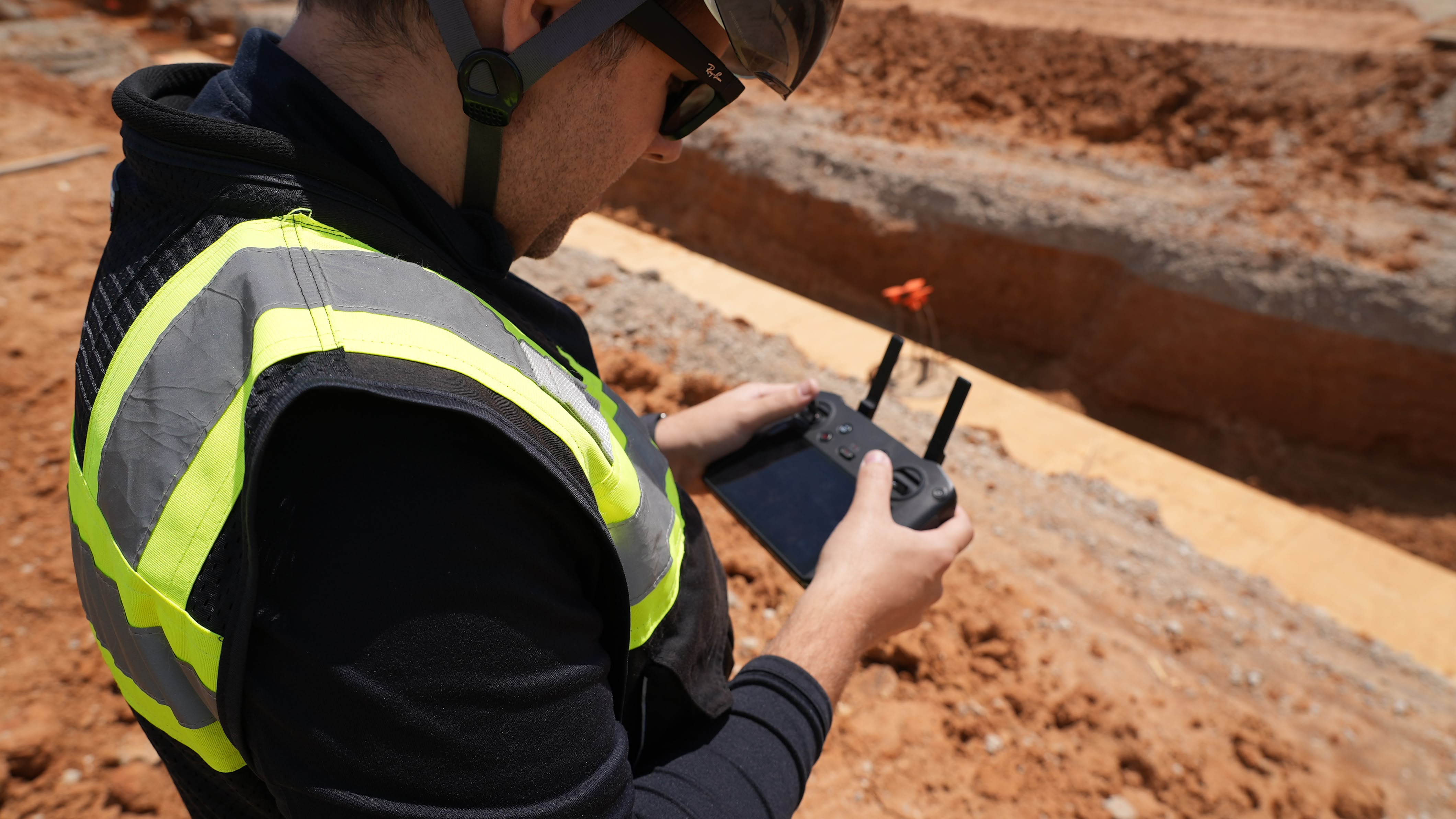
Undertaking a construction project is always a time-consuming, laborious process. Even if an architect, owner, and contractor agree on a design, it’s not a guarantee things will go exactly according to plan. Projects can face many obstacles even before construction begins: topography impact can be over or underestimated, the design itself can have miscalculations, or the contractor or subcontractors can make mistakes based on inaccurate measurements. Depending on the size of the project, these mistakes or blunders can sometimes cost tens of thousands of dollars in delays, budget overruns, or costly disputes.
Drones change the game in communication. A [drone] photo is worth a thousand words, and potentially millions of dollars.
- Ryan Moret, Field Solutions Manager, McCarthy Building Companies Inc.
By utilizing drones and DroneDeploy on a job site, contractors can quickly and accurately map the site, easily verify subcontractor work, and perform faster, more reliant safety and equipment checks; meaning projects are more likely to finish on time and on budget with little risk of expensive miscues.

Accurately Mapping a Site
Mapping a construction site used to be lengthy and tedious. Companies would frequently hire either a plane or helicopter to fly over and provide an aerial view of the intended job site. Not only were these options incredibly costly - helicopters sometimes costing as much as $1,500 per hour - but the data pulled from these flights was often inaccurate, diluted, or unusable.

By flying drones with DroneDeploy, however, companies are realizing immediate benefits. Time is cut from the schedule, money is saved in the budget, and the data pulled is significantly more accurate, allowing contractors and subcontractors alike to work off the same detailed site plan. And, after using DroneDeploy, a 2018 study revealed a 52% reduction in time to gather data and a 61% improvement in the data pulled, resulting in a 20x cost savings for some companies.
“We saw what was initially a 2–3 week and several tens of thousands of dollars process become a 1 to 4 day process,” said Hunter Cole, Innovation and Operational Technology at Brasfield & Gorrie, LLC. “When you’re looking at a dramatic 75 percent or greater cost and time improvement, it’s really powerful.”

Ease of Verifying Subcontractor Work
Keeping track of project progress can be a constant headache on a job site. Depending on the scale of the project, some job sites can have hundreds of workers; and guaranteeing everyone is on the same page can be a challenge.
DroneDeploy allows a company to autonomously run a drone on a specific path to make sure the project is progressing to scope and specification. This method allows for accurate, more precise visual verification and, more importantly, improved communication across the job site. Since the maps can be used for comparative analysis, owners and contractors can verify work is being done on time and according to design.
Using DroneDeploy, job sites saw a 65% improvement in communication and collaboration.

Faster, More Reliable Safety & Equipment Checks
Construction sites can be dangerous, and it’s not uncommon for workers to face serious injury—or even death. Site managers are hyper-attuned to these risks and do everything in their power to prevent job site incidents.
Seeking better ways to gather data and inspect sites, companies increasingly turn to drones to improve overall safety for their workers. Drones minimize the time spent inspecting more dangerous areas, essentially eliminating the need to put people at risk. This continues to be a leading reason for introducing drone programs at companies of all sizes.
Using drones for inspection and safety checks can save thousands for the construction industry, especially in phase audits and works certification costs, and for those customers who utilized DroneDeploy, they saw a 55% improvement in job site safety.
When you’re looking at a dramatic 75 percent or greater cost and time improvement, it’s really powerful.
- Hunter Cole, Innovation and Operational Technology, Brasfield & Gorrie, LLC
Endless Use Cases
While these are just three of the reasons you should incorporate drones into your construction operations, the possibilities are seemingly endless. Site managers can use it to monitor how much earth has been moved, perform side-by-side comparisons, and catch issues before they become a costly problem. DroneDeploy has proven the ROI for construction companies and that return continues to grow.
Want to Learn More?
Watch this webinar to hear from industry experts leading the charge to integrate drones into construction project management. Expect to learn how DroneDeploy and Procore can be used to track site progress, streamline team communications, and keep your project running on budget and on schedule.
Or unlock the power of drones today by starting your own trial.


