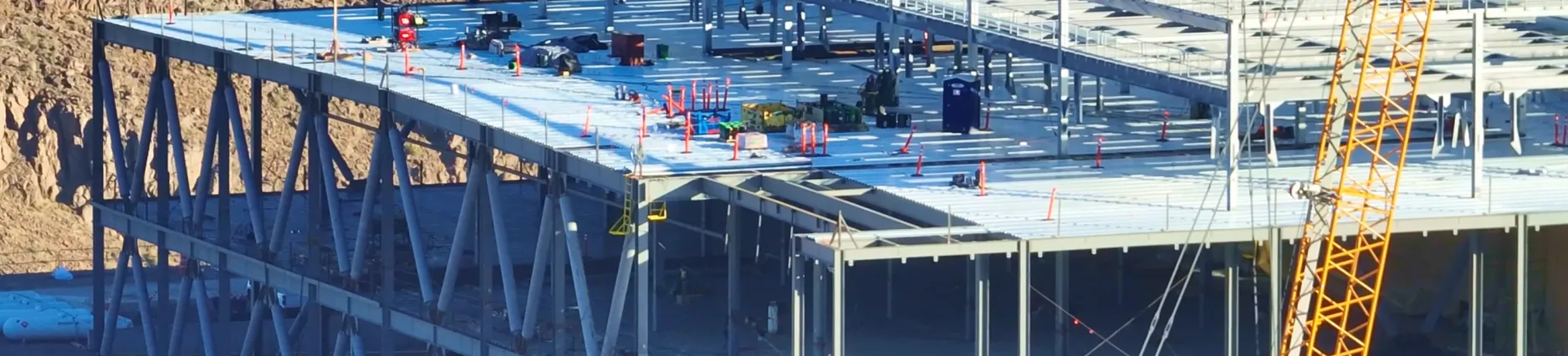
October 2023 Product Release
.svg)

Quick Summary
DroneDeploy just rolled out its biggest platform update yet — a fully unified space for all air + ground, interior + exterior reality capture. It’s designed to streamline collaboration, speed up data access, and give teams a single source of truth for every project. Early access is available now.
Here’s what’s new at a glance:
- Unified interface: Switch seamlessly between interior and exterior views, levels, walks, maps, and media — all in one place.
- Smarter navigation tools: Date range selector, map switcher, level switcher, walk selector, new sidebar navigation, and powerful media grouping + galleries to quickly find what you need.
- Locations (Open Beta): Define areas of interest and see all related media grouped over time — great for tracking progress by room, zone, or elevation.
- Analytics Dashboard: Org admins get visibility into capture activity by team, project, or user to improve planning and performance.
- Aerial PPK Support: Drag-and-drop PPK processing for DJI RTK drones — enabling high-accuracy maps even without RTK connectivity.
- ML Digital Terrain Models: Automatic filtering of equipment, vegetation, and structures for cleaner terrain and more accurate volumetrics.
- 3D DXF Import: View underground utilities, grading surfaces, and 3D design files directly on top of your 3D data.
- Custom Grids + GCP Improvements: Upload Trimble calibration files to set project-level CRS and import GCPs directly in custom coordinates.
- Surface Profile Enhancements: Compare elevation changes across dates, visualize cut/fill alongside design surfaces, and spot deltas instantly.
- M3E Mobile Uploads: Send data straight from your Mavic 3 Enterprise to DroneDeploy — no SD card shuffle.
- IFC Visualization: Import BIM IFC models from tools like Revit or Tekla to compare design vs. reality inside DroneDeploy.
- New Ground Mobile App: Updated capture flow, X-ray mode, media viewing, and more — available November 1 (early access now).
Introducing the NEW DroneDeploy platform
The new DroneDeploy platform has arrived, where you can collaborate on all your reality capture data – from the air to the ground, exterior and interior – in one place.
The new platform will be gradually rolled out to customers starting October 11, but you can request early access now.*
New functionality in the platform includes:
- Date Range Selector - This allows you to view all media captured throughout the history of the project. Select to view media in the last 30 days, last 7 days, all time, or within a custom date range.
- Interior and Exterior Toggle - Flip between interior and exterior views of your project.
- Map Switcher (Exterior only, Aerial access only) - Switch to view an aerial map that was captured. You can hover over the maps to preview before clicking to select.
- Level Switcher (Interior only, Ground access only) - Switch to another level in the Interior view of your project. You can see a summary of the media captured on each level before clicking to select.
- Walk Selector (Interior & Exterior, Ground access only) - Use the selector to choose which Walks you want to see on the level or map. You can select one date, multiple dates or all dates. You can also hover to preview the paths that were walked.
- Left side bar navigation - Click on the arrow in the left-hand corner to expand the sidebar. Expand each section in the sidebar to explore your overlay, annotations and other filtering options.
- Media Groups - On a map or level, media captured within 6 inches of each other in Interior view, and 10 feet of each other in Exterior view, is clustered into a Media Group. You can also zoom in to see individual pins.
- Media Gallery - After selecting a pin, you’ll be able to preview all media types captured in this location proximity (6 inches for interior, 10 feet for exterior) within your selected date range in the Media Gallery that will open in the right-hand panel. Click on an individual image to view in full screen.
*Note: DroneDeploy organization owners can request access to be enabled for their entire organization. Reach out to your Customer Success Manager to get access.
Check out this high-level overview of our latest feature updates
Locations
The Locations feature is now available in Open Beta! Locations allows you to define areas on your level or map. Your captured media is then grouped in a Location for you to easily view progress there over time.*
Note: All media, excluding Walks and Orthomosaics, will be grouped in a Location at the time of the Open Beta release. Walks will be included in the Location grouping soon afterwards.

Locations Automated Setup
To use Locations, you can manually set it up on each level. To simplify this process, DroneDeploy offers a Locations setup service. Reach out to your Customer Success Manager or Support at [email protected] to learn more.
Analytics Dashboard
Analytics dashboards are now available for org admins to view important team data such as captures and activity by project or user. Now you can understand your data in a whole new way!
The new Analytics Dashboard functionality is an indispensable tool for managing our Reality Capture program. It's not just a time-saver; it provides a complete overview of our project captures. With this powerful dashboard, we can streamline our operations, effortlessly prepare executive presentations, and proactively address ongoing construction issues. The analytics dashboard is gaming changing!
Austin Lay, Reality Capture Technologies Manager, Layton Construction Company
Available to admins associated with Enterprise Accounts.
DroneDeploy Aerial
PPK
DroneDeploy now supports drag-and-drop PPK processing for all DJI RTK-equipped drones. If you’re flying outside of our RTK coverage area or somewhere with poor internet connectivity, DroneDeploy will automatically apply corrections to your images, resulting in a highly accurate map.
What is PPK?
PPK is a GPS corrections technology, like RTK, that increases precision to geotagged image data. Location data is corrected after the drone has captured images, which unlocks the ability to make accurate maps in offline areas. For more of a deep dive on the differences between the technologies, check out our blog post.
Now DroneDeploy customers flying large sites or in remote areas can create high-accuracy maps without relying on RTK connectivity.
Learn more about PPK in DroneDeploy
Available to Advanced, Teams and Enterprise Accounts.
Machine Learning Digital Terrain Models
Now, you can more accurately analyze the terrain of your worksite. New machine learning ("ML") image segmentation in our processing pipeline automatically “flattens” unwanted elements, allowing you to quantify the underlying terrain directly.
Processing a new map in DroneDeploy will result in improved filtering and reduction of structures, conveyors, trees, vegetation and other non-terrain artifacts, saving time cleaning up unwanted structures and producing more accurate volumetrics.
Available to Advanced, Teams and Enterprise Accounts.
3D DXFs - now available!
Now, you can visualize vector drawings and surface models (such as underground utilities, 3D designs and grading files) layered directly on top of your 3D data in DroneDeploy using 3D DXFs. Learn more about 3D DXF layers here.
Seeing 3D surface models and linework alongside 3D aerial data helps avoid utility strikes, visualize design intent and compare reality to your plans.
.png)
Available to Advanced, Teams and Enterprise Accounts.
Project-Level Custom Grids
Save time defining your custom coordinate reference system (“CRS”) in DroneDeploy by uploading a Trimble calibration file. Once uploaded, Location Annotations, Imports and Exports will use your custom grid for a simplified comparison to project plan data.
To create a new custom-CRS for your site, simply upload a Trimble .JXL calibration file when you create your project or in the project’s settings.

Available to Advanced, Teams and Enterprise Accounts.
Surface Profiles Improvements
Surface Profiles improvements allow you to easily visualize elevation changes over time on the slider by showing simultaneous elevation readings across selected dates. If a cut/fill design surface is present on the project, its profile will be plotted in the same view. Lastly, the delta between elevation values is now also reported, to help you quickly understand how much work has been done between dates and how much work is left to be done.
To use this feature, create a distance annotation as usual, open map comparison and then click the new expand button on the mini-graph to launch “big mode” at the bottom.
Available to Advanced, Teams and Enterprise Accounts.
M3E Mobile Uploads
Now all Mavic 3 Enterprise pilots with paid accounts can send data to DroneDeploy without removing the SD card, eliminating manual steps between flight and processing, getting you your data faster. Learn more about Mobile Uploads here.

Available to all paid DroneDeploy Accounts.
IFC Visualization
Now you can import 3D IFC visualization directly into DroneDeploy. IFCs are a universal BIM format making them easily exportable from Revit, Bentley or Tekla.
Customers are already using 3D IFC visualization to support their workflows, such as bringing in structural models to coordinate crew work plans, or confirming that slab on grade elements are installed correctly.
This powerful new visualization tool is all about creating an easy workflow to compare reality to design in a location that is easily accessible to your entire project team.
This feature will be available mid-October.
Available to Advanced, Teams and Enterprise Accounts.
GCPs in Custom Coordinates
Now, if you have a Project CRS established by a calibration file, you can upload GCPs in custom coordinates only, saving survey collection time and formatting pains.
Available to Advanced, Teams and Enterprise Accounts.
Ground
New Ground Mobile App
The new version of our Ground Mobile App will be released to all customers starting November 1. Until then, you can get early access through our Open Beta.
New features in the app include:
- Updated capture flow
- Media viewing
- Compare
- X-ray
- Media Groups
.png)
FAQ


Ready to manage your data from the very start?
Book a quick call to see how DroneDeploy streamlines capture from construction through building ROI.