How Softbank Energy Standardizes Asset Inspections with DroneDeploy
.svg)

Quick Summary
Softbank Energy adopted DroneDeploy in 2021 to streamline construction and monitoring of massive utility-scale solar farms—now spanning 200–600 megawatts and thousands of acres. With sites taking 40 minutes to cross, drones help identify issues early, saving time and preventing costly errors. DroneDeploy enables accurate site scans, AI-driven inventory counts, and fast reporting—catching problems like boundary overruns or panel defects before they escalate. With six trained pilots and regular drone flights, Softbank has saved thousands of labor hours and aims to expand drone use across all solar projects to boost efficiency and accelerate clean energy deployment.
The solar energy industry has experienced significant growth since utility-scale solar projects began over ten years ago. While the industry started building solar farms at 20-30 megawatts, Vincent Kot, Director of Project Management at Softbank, tells us that the current industry standard is a staggering 200-600. But as their industry and land area grew, so did logistical challenges: These solar farms are in the thousands of acres and 3-5 miles across. This means that just traveling from one side of the site to the other can take upwards of 40 minutes! With the construction of these power plants at breakneck paces, proper monitoring and early intervention are critical to reducing mistakes and slowdowns. To improve reporting and contractor communications, especially during the COVID-19 pandemic, Softbank Energy joined DroneDeploy in April 2021 to empower the delivery of projects quickly and on budget.
This technology is an enabler that improves efficiency - I’d estimate we’ve saved thousands of hours in work.”

Vincent Kot, Director of Project Management, Softbank Energy

Prospecting & Reporting with Drone Insights
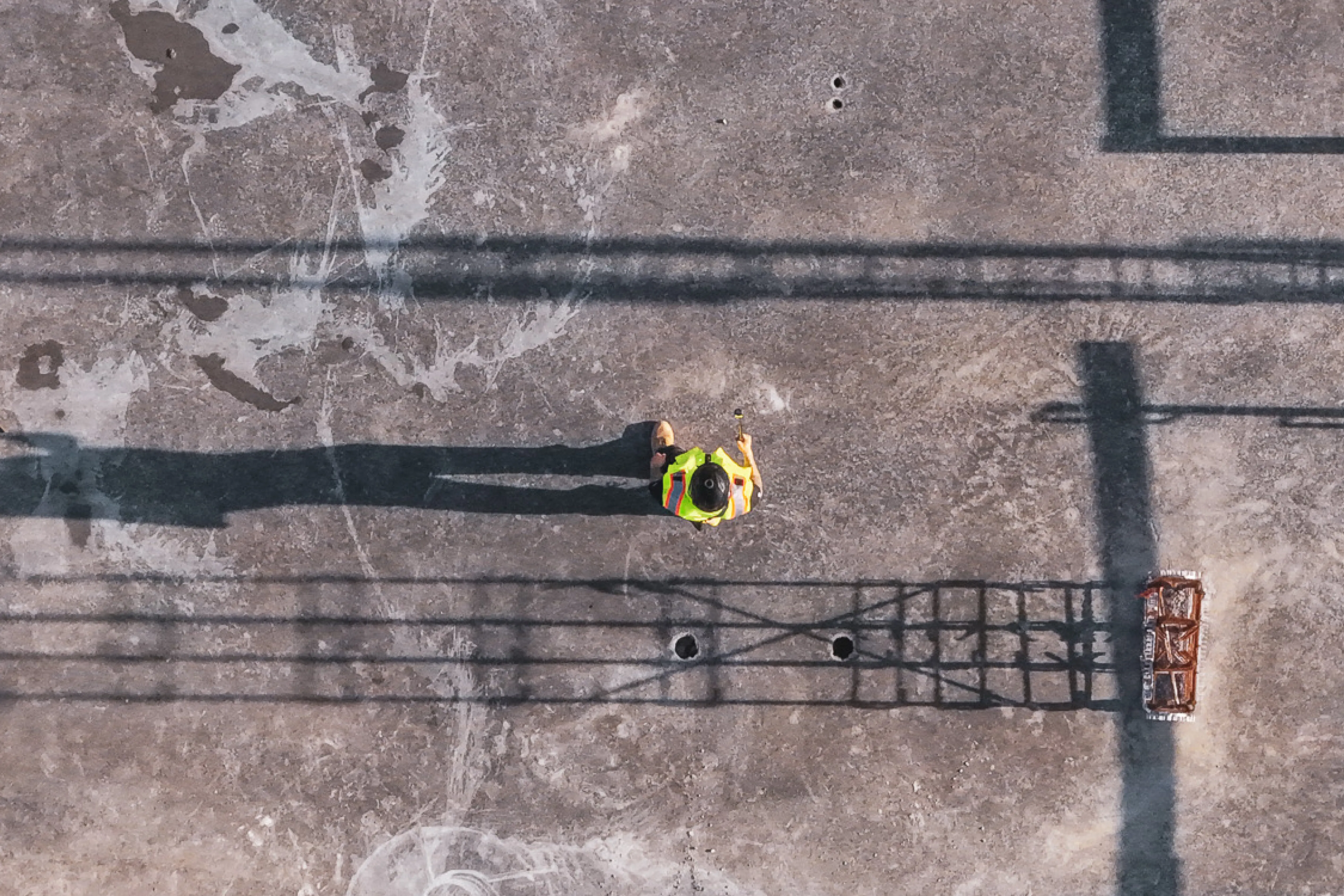
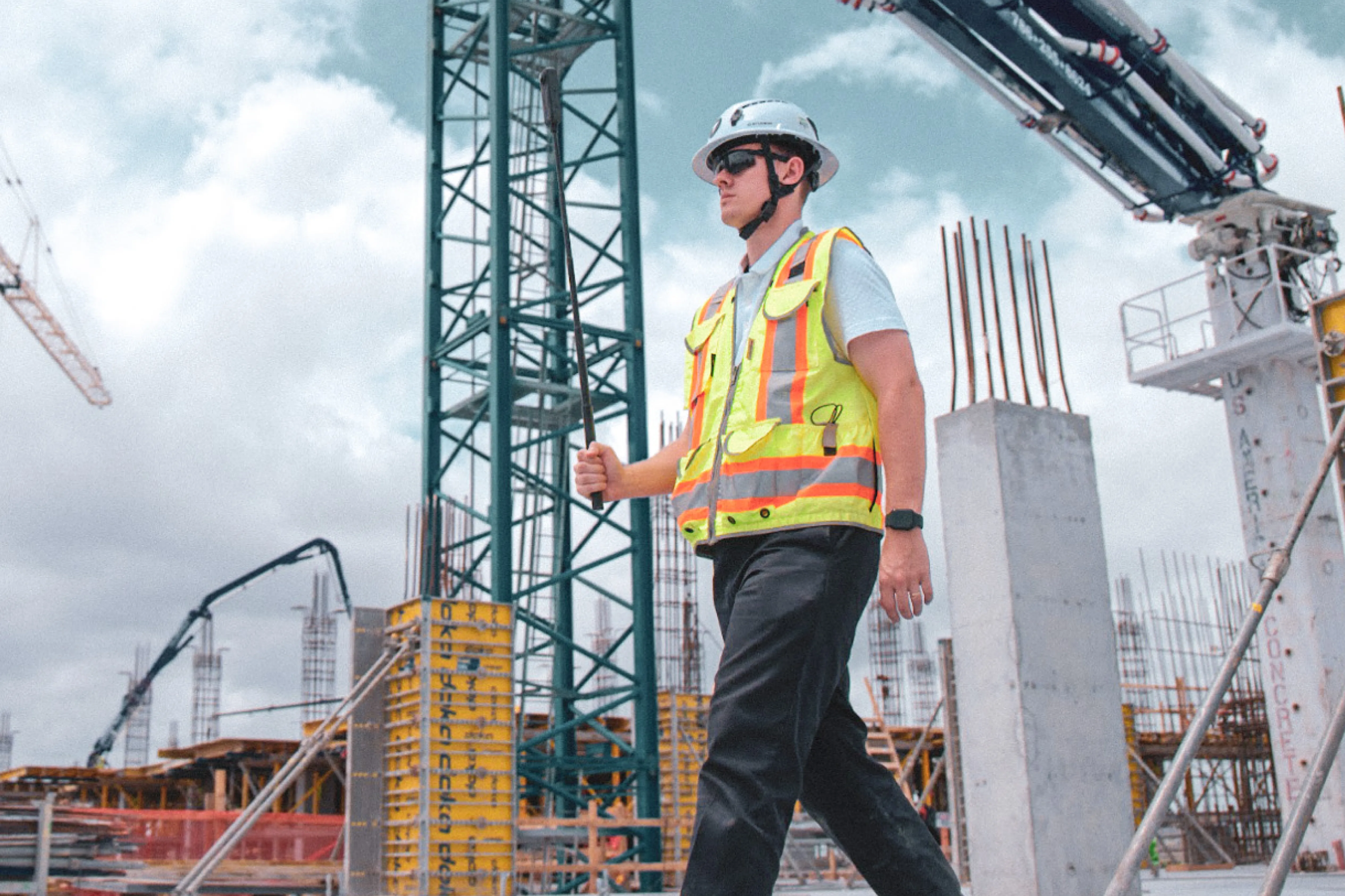
Using DroneDeploy’s Enterprise plan, Vincent built Softbank’s drone program from one to six pilots; their primary goals being to identify problem areas on-site before they become full-scale issues, and tracking construction progress. Every ten days, these pilots fly sites and create both aerial maps and panoramas for team use. “Now, when workers first land on-site, they can find problems on the drone scan and 3D models without driving around the site searching,” Vincent says, “On a traditional map, you can’t tell the nuances of the land.” Not only does this save time, but it improves accuracy as well.
After processing, Softbank uses AI to count the number of holes, stockpiles, and solar panels on-site. Vincent told us of one incident where they realized construction had shifted outside boundaries in the project plans by 100 feet - without the contractor themselves telling them so. Luckily, a drone survey quickly caught this issue, and the team was able to adjust accordingly.
DroneDeploy serves as an accountability tool - you can’t dispute the data.”
Vincent Kot, Director of Project Management, Softbank Energy

As compared to their previous process, this is a radical improvement in time and rework. While drones provide a reliable, automated count, contractors tend to incorrectly estimate, Vincent tells us. On a 300 megawatt site that is a long drive end to end, specific problems can get lost quickly if not immediately reported. “Every broken panel that you can’t find has an initial cost of about $200, plus the amount of energy it’s not generating for however long it’s broken,” Vincent explains, "DroneDeploy promotes early detection of these problems."

Finding Use Cases for Drones in Solar
Today, Softbank Energy is primarily focused on mobilizing drone technology across a variety of different projects. Increasing DroneDeploy adoption across the organization is a focal point for Vincent in the coming year. He looks forward to drone data becoming a mainstream tool in the renewable energy field and seeks to find new use cases for the technology on each project. “Our goal is to use DroneDeploy to drive efficiencies so that we can build more solar fields to solve the world’s problems,” Vincent states. We wish them the best of luck!
If you’re interested in bringing drone technology to your solar field, watch our webinar on what’s next for drones in energy, or for more information, contact us.
.png)
FAQ
Related articles
Ready to manage your data from the very start?
Book a quick call to see how DroneDeploy streamlines capture from construction through building ROI.