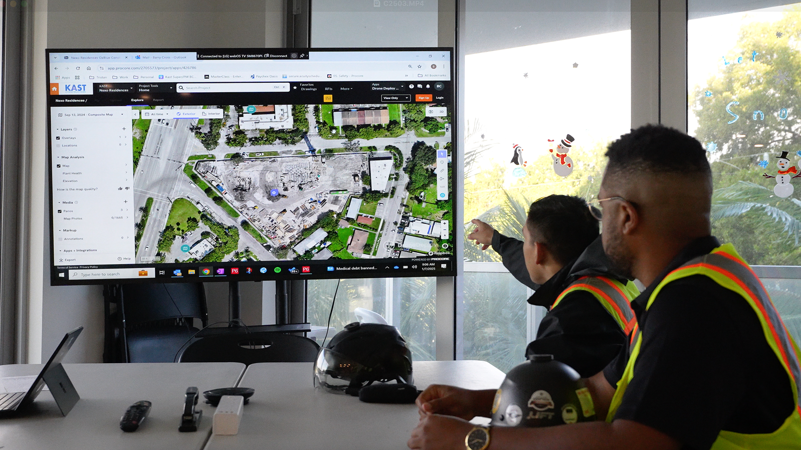
Tools for Construction
DroneDeploy has features specifically tailored to the construction industry, making it easy to monitor project timelines and team task statuses. The Cut/Fill Elevation Tool allows users to compare the elevation of their map to an earlier version using heat map visualization. Since a subcontractor will likely perform earthmoving, GC’s must make sure the correct amount has been transferred, and that the final result matches the plan design. Because budgets are built based on the amount of earth moved, accuracy is paramount.